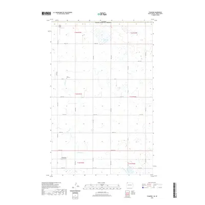
2020 Map of Stampede
USGS Topo · Published 2020About this map
The northern edge of Burke County meets the international border in this 2020 record of the High Plains. Just south of the Canada United States of America line, the small settlement of Stampede anchors a landscape defined by its rigid section lines and prairie potholes. The drainage of E Br Short Cr wanders through the southern portion of the quadrangle, passing near the Short Creek Cem. This area of North Dakota remains deeply agricultural, with the grid of county roads and section routes like 108th St NW and 91st Ave NW providing the primary structure for the remote rural community. Small-scale aviation is represented by the Strom Private Airport in the northwest corner, illustrating the importance of private transit in this sparsely populated region.
Find a feature on this map
27 named features on this map. Tap any name to fly to it.
Don’t see what you’re looking for? This feature index may not catch every label — zoom into the map to look around manually.
Map Details
Editions of this 2020 Stampede Map
This is the sole edition of this map. No revisions or reprints were ever made.
Other maps of this area

1947 · Columbus
USGS Topo · 1:24,000

1948 · Beaver Lake
USGS Topo · 1:24,000

1948 · Stampede
USGS Topo · 1:24,000

1949 · Rennie Lake
USGS Topo · 1:24,000

1949 · Portal
USGS Topo · 1:24,000

1949 · Columbus
USGS Topo · 1:24,000

1949 · Columbus SE
USGS Topo · 1:24,000

1950 · Columbus
USGS Topo · 1:62,500

1950 · Portal
USGS Topo · 1:62,500

1953 · Williston
USGS Topo · 1:250,000