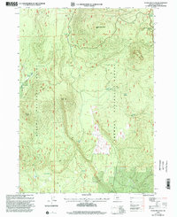
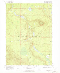
1999 Map of Stams Mountain
USGS Topo · Published 2002About this map
The Winema National Forest and Fremont National Forest converge in this high-altitude landscape of south-central Oregon. The terrain is defined by volcanic features, including Pumice Butte and the prominent Stams Mountain, which rises near the northern boundary. In a region where water sources are critical for forestry and wildlife, the map documents a series of named water points such as Stams Well, Timber Well, and Corral Spring.
Find a feature on this map
20 named features on this map. Tap any name to fly to it.
Don’t see what you’re looking for? This feature index may not catch every label — zoom into the map to look around manually.
Map Details
Editions of this 1999 Stams Mountain Map
This is the sole edition of this map. No revisions or reprints were ever made.
Other maps of this area

1935 · Chemult
USGS Topo · 1:96,000

1941 · Chemult
USGS Topo · 1:125,000

1955 · Crescent
USGS Topo · 1:250,000

1957 · Crescent
USGS Topo · 1:250,000

1958 · Crescent
USGS Topo · 1:250,000
1967 · Sellers Marsh
USGS Topo · 1:24,000
1967 · Crescent NE
USGS Topo · 1:24,000

1968 · Location Butte
USGS Topo · 1:24,000
1968 · Antelope Mtn
USGS Topo · 1:24,000
1968 · Tea Table Mtn
USGS Topo · 1:24,000