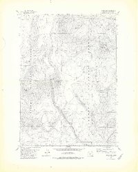
1981 Map of Stams Mtn
USGS Topo · Published 1982About this map
Stams Mtn and the high volcanic terrain of the Fremont National Forest dominate this 1980s landscape in Klamath County. The map documents a high-altitude wilderness characterized by cinder and timber-crowned peaks, including Corral Butte, Timber Butte, and Pumice Butte. The scarcity of permanent surface water is evident in the vital network of named wells and springs scattered across the survey area, such as Stams Well, Cannon Well, and Corral Spring. These water sources represent critical infrastructure for range management and forestry operations during this era. Surveyed after the mid-1970s, the map shows a landscape largely shaped by forest service roads and natural topography, with few permanent structures beyond these improved water points. Bear Flat provides a break in the vertical relief, while isolated features like Tinhead Spring and Rock Spring serve as navigational anchors in the dense forest.
Find a feature on this map
18 named features on this map. Tap any name to fly to it.
Don’t see what you’re looking for? This feature index may not catch every label — zoom into the map to look around manually.
Map Details
Editions of this 1981 Stams Mtn Map
2 editions found
Other maps of this area

1935 · Chemult
USGS Topo · 1:96,000

1941 · Chemult
USGS Topo · 1:125,000

1955 · Crescent
USGS Topo · 1:250,000

1957 · Crescent
USGS Topo · 1:250,000

1958 · Crescent
USGS Topo · 1:250,000
1967 · Sellers Marsh
USGS Topo · 1:24,000
1967 · Crescent NE
USGS Topo · 1:24,000

1968 · Location Butte
USGS Topo · 1:24,000
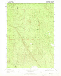
1968 · Antelope Mtn
USGS Topo · 1:24,000
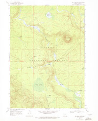
1968 · Tea Table Mtn
USGS Topo · 1:24,000