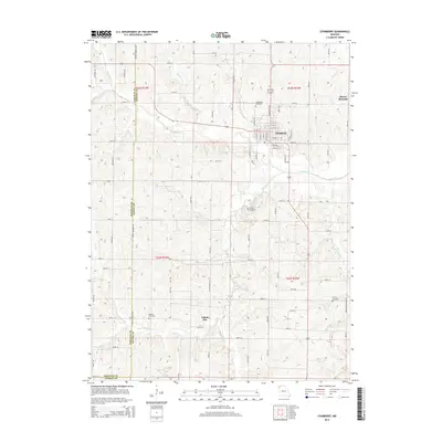
2014 Map of Stanberry
USGS Topo · Published 2014About this map
Stanberry serves as the primary urban center in this corner of northwest Missouri, situated at the junction of several county roads and the winding Wildcat Cr. The town's grid is well-defined by streets such as E Railroad St and E Myrtle St, reflecting a traditional Midwestern settlement pattern. Outside the city limits, the landscape transitions into the rolling hills of Gentry County, reaching a high point at Mount Pleasant to the east.
Find a feature on this map
65 named features on this map. Tap any name to fly to it.
Don’t see what you’re looking for? This feature index may not catch every label — zoom into the map to look around manually.
Map Details
Editions of this 2014 Stanberry Map
This is the sole edition of this map. No revisions or reprints were ever made.
Other maps of this area

1925 · Stanberry
USGS Topo · 1:62,500

1925 · Darlington
USGS Topo · 1:62,500

1939 · Stanberry
USGS Topo · 1:62,500

1940 · Parnell
USGS Topo · 1:62,500

1942 · Grant City
USGS Topo · 1:62,500

1943 · Parnell
USGS Topo · 1:62,500

1943 · Grant City
USGS Topo · 1:62,500

1943 · Stanberry
USGS Topo · 1:62,500

1950 · Darlington
USGS Topo · 1:62,500

1955 · Nebraska City
USGS Topo · 1:250,000