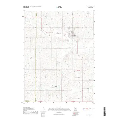
2017 Map of Stanberry
USGS Topo · Published 2017About this map
Stanberry serves as the primary hub of this northwestern Missouri landscape, situated where the rolling uplands are dissected by the winding course of Wildcat Cr. The town's regular street grid contrasts with the agricultural patchwork that defines the surrounding townships, including the smaller settlement of Island City to the south. The drainage patterns of Island Cr and Moccasin Cr dictate the local topography, creating a series of ridges where several early burial grounds are located, including High Ridge Cem overlooking the main townsite.
Find a feature on this map
80 named features on this map. Tap any name to fly to it.
Don’t see what you’re looking for? This feature index may not catch every label — zoom into the map to look around manually.
Map Details
Editions of this 2017 Stanberry Map
This is the sole edition of this map. No revisions or reprints were ever made.
Other maps of this area

1925 · Stanberry
USGS Topo · 1:62,500

1925 · Darlington
USGS Topo · 1:62,500

1939 · Stanberry
USGS Topo · 1:62,500

1940 · Parnell
USGS Topo · 1:62,500

1942 · Grant City
USGS Topo · 1:62,500

1943 · Parnell
USGS Topo · 1:62,500

1943 · Grant City
USGS Topo · 1:62,500

1943 · Stanberry
USGS Topo · 1:62,500

1950 · Darlington
USGS Topo · 1:62,500

1955 · Nebraska City
USGS Topo · 1:250,000