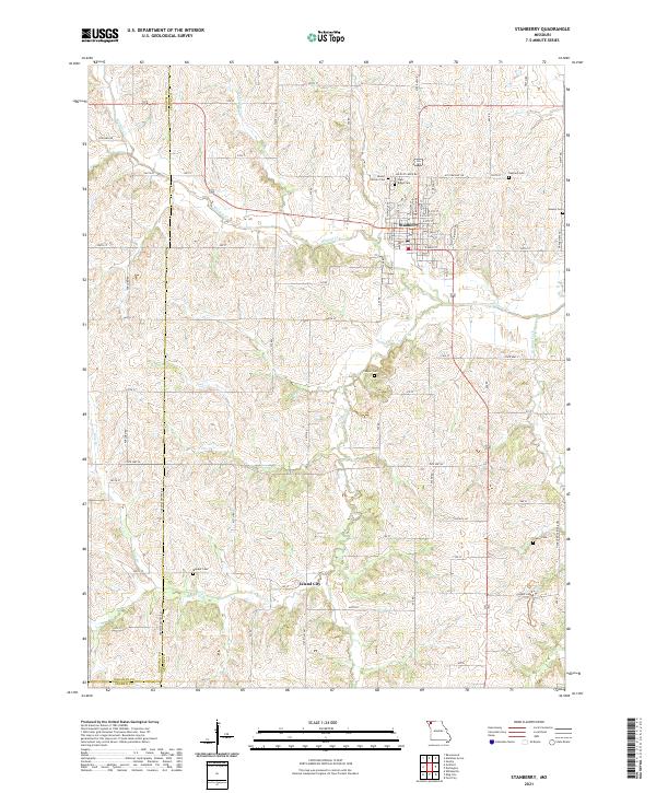
2021 Map of Stanberry
USGS Topo · Published 2021About this map
The agricultural landscape of Gentry County centers on the city of Stanberry, where a precise street grid meets a network of country roads. Situated along Wildcat Cr, this area is defined by the winding paths of Island Cr and Walnut Fork, providing drainage for the surrounding fields. Further south, the small community of Island City stands near the junction of several county routes, reflecting the rural settlement patterns of northwest Missouri.
Find a feature on this map
51 named features on this map. Tap any name to fly to it.
Don’t see what you’re looking for? This feature index may not catch every label — zoom into the map to look around manually.
Map Details
Editions of this 2021 Stanberry Map
This is the sole edition of this map. No revisions or reprints were ever made.
Other maps of this area

1925 · Stanberry
USGS Topo · 1:62,500

1925 · Darlington
USGS Topo · 1:62,500

1939 · Stanberry
USGS Topo · 1:62,500

1940 · Parnell
USGS Topo · 1:62,500

1942 · Grant City
USGS Topo · 1:62,500

1943 · Parnell
USGS Topo · 1:62,500

1943 · Grant City
USGS Topo · 1:62,500

1943 · Stanberry
USGS Topo · 1:62,500

1950 · Darlington
USGS Topo · 1:62,500

1955 · Nebraska City
USGS Topo · 1:250,000