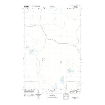
2010 Map of Stanberry West
USGS Topo · Published 2010About this map
Stanberry anchors the southeastern corner of this Northwoods landscape at the beginning of the twenty-first century. The terrain is defined by a dense network of waterways and wetlands, where Frog Creek and Cedar Creek drain the northern reaches while Hay Creek and Maggie Creek wind through the south. The area's glacial history is visible in the collection of scattered water bodies, including Tranus Lake, Lost Lake, and Sugar Bush Lake.
Find a feature on this map
30 named features on this map. Tap any name to fly to it.
Don’t see what you’re looking for? This feature index may not catch every label — zoom into the map to look around manually.
Map Details
Editions of this 2010 Stanberry West Map
This is the sole edition of this map. No revisions or reprints were ever made.
Other maps of this area

1947 · Chittamo
USGS Topo · 1:48,000

1947 · Minong
USGS Topo · 1:48,000

1948 · Spooner
USGS Topo · 1:48,000

1948 · Stone Lake
USGS Topo · 1:48,000

1949 · Chittamo
USGS Topo · 1:48,000

1949 · Minong
USGS Topo · 1:48,000

1949 · Spooner
USGS Topo · 1:48,000

1950 · Stone Lake
USGS Topo · 1:48,000

1953 · Ashland
USGS Topo · 1:250,000

1953 · Rice Lake
USGS Topo · 1:250,000