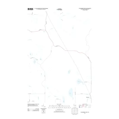
2013 Map of Stanberry West
USGS Topo · Published 2013About this map
Stanberry sits in the southeastern corner of this Washburn County landscape, serving as a primary point of reference in a region defined by its dense network of glacial lakes and northern streams. The topography is shaped by water, with Lost Lake, Tranus Lake, and Sugar Bush Lake dotting the central and eastern portions. This 2013 survey illustrates the local infrastructure, where State Road 77 and County Hwy-G provide the primary transit corridors through the wooded terrain. Smaller drainages like Sink Cr and Frog Cr wind through the north, while the western edge is anchored by Fish Lake and the larger Gull Lake. The distribution of local roads, including Taylor Lake Rd and Hay Lake Rd, reveals the pattern of rural residential and recreational access to the numerous named water bodies that characterize this part of Wisconsin.
Find a feature on this map
32 named features on this map. Tap any name to fly to it.
Don’t see what you’re looking for? This feature index may not catch every label — zoom into the map to look around manually.
Map Details
Editions of this 2013 Stanberry West Map
This is the sole edition of this map. No revisions or reprints were ever made.
Other maps of this area

1947 · Chittamo
USGS Topo · 1:48,000

1947 · Minong
USGS Topo · 1:48,000

1948 · Spooner
USGS Topo · 1:48,000

1948 · Stone Lake
USGS Topo · 1:48,000

1949 · Chittamo
USGS Topo · 1:48,000

1949 · Minong
USGS Topo · 1:48,000

1949 · Spooner
USGS Topo · 1:48,000

1950 · Stone Lake
USGS Topo · 1:48,000

1953 · Ashland
USGS Topo · 1:250,000

1953 · Rice Lake
USGS Topo · 1:250,000