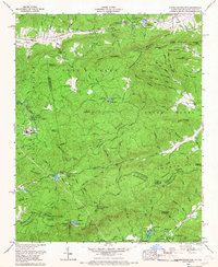
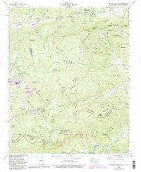
1965 Map of Standingstone Mtn.
USGS Topo · Published 1967About this map
The residential development at Jeter Mountain Terrace represents one of the primary named settlements in this densely forested region along the North Carolina and South Carolina border. Surveyed by the Tennessee Valley Authority and the Geological Survey in the mid-1960s, the terrain is defined by the high ridges and deep forks that separate the Green River and Saluda River basins. The landscape reflects a transitional era where traditional mountain land-use patterns were beginning to incorporate organized residential terraces and camps amidst the steep slopes. Researchers of local geography can trace the intricate network of peaks and drainage patterns that historically dictated the movement of people and the placement of small mountain communities in this part of Henderson County.
Find a feature on this map
1 named feature on this map. Tap any name to fly to it.
Don’t see what you’re looking for? This feature index may not catch every label — zoom into the map to look around manually.
Map Details
Editions of this 1965 Standingstone Mtn. Map
5 editions found
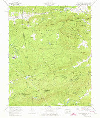
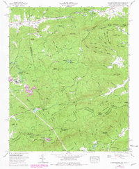
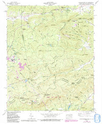
Other maps of this area

1905 · Pisgah
USGS Topo · 1:125,000

1906 · Pisgah
USGS Topo · 1:125,000

1907 · Saluda
USGS Topo · 1:125,000

1935 · Brevard
USGS Topo · 1:24,000

1935 · Standingstone Mtn.
USGS Topo · 1:24,000

1935 · Horse Shoe
USGS Topo · 1:24,000

1935 · Hendersonville
USGS Topo · 1:24,000

1935 · Table Rock
USGS Topo · 1:24,000

1935 · Zirconia
USGS Topo · 1:24,000

1935 · Pisgah Forest
USGS Topo · 1:24,000
Featured Places
- Jeter Mountain Terrace, NC
- Greenville County, SC
- Henderson County, NC
- Transylvania County, NC
- United States