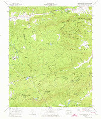
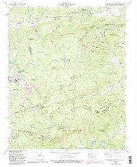
1965 Map of Standingstone Mtn.
USGS Topo · Published 1974About this map
Blue Ridge summits and deep river valleys define this borderlands region between North Carolina and South Carolina in the mid-1960s. The Tennessee Valley Divide cuts through the center of the sheet, separating the headwaters of the Little River and Green River. High-elevation landmarks like Standingstone Mountain and Stone Mountain overlook a landscape transition where the mountain ridges of Henderson Co drop toward the rolling heights of South Carolina.
Find a feature on this map
116 named features on this map. Tap any name to fly to it.
Don’t see what you’re looking for? This feature index may not catch every label — zoom into the map to look around manually.
Map Details
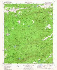
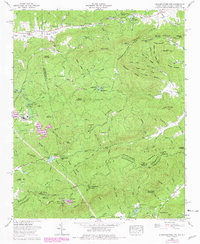
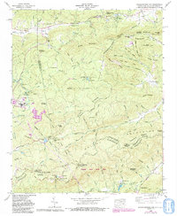
Editions of this 1965 Standingstone Mtn. Map
5 editions found
Other maps of this area

1905 · Pisgah
USGS Topo · 1:125,000

1906 · Pisgah
USGS Topo · 1:125,000

1907 · Saluda
USGS Topo · 1:125,000

1935 · Brevard
USGS Topo · 1:24,000

1935 · Standingstone Mtn.
USGS Topo · 1:24,000

1935 · Horse Shoe
USGS Topo · 1:24,000

1935 · Hendersonville
USGS Topo · 1:24,000

1935 · Table Rock
USGS Topo · 1:24,000

1935 · Zirconia
USGS Topo · 1:24,000

1935 · Pisgah Forest
USGS Topo · 1:24,000
Featured Places
- Jeter Mountain Terrace, NC
- Greenville County, SC
- Henderson County, NC
- Transylvania County, NC
- United States