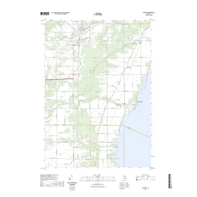
2023 Map of Standish
USGS Topo · Published 2023About this map
Standish anchors this coastal section of Arenac County, where the agricultural interior meets the Saginaw Bay shoreline. The map documents a landscape defined by its waterways, including the confluence of the Middle Branch Pine River and South Branch Pine River, as well as the coastal reach of the Saganing River. Local civic and spiritual life is well-marked through the presence of the Arenac County Courthouse and several significant burial grounds, notably the Saganing Indian Methodist Mission Cem near the shore and the Resurrection of the Lord Catholic Cem to the north.
Find a feature on this map
57 named features on this map. Tap any name to fly to it.
Don’t see what you’re looking for? This feature index may not catch every label — zoom into the map to look around manually.
Map Details
Editions of this 2023 Standish Map
This is the sole edition of this map. No revisions or reprints were ever made.
Other maps of this area

1954 · Traverse City
USGS Topo · 1:250,000

1954 · Midland
USGS Topo · 1:250,000

1954 · Flint
USGS Topo · 1:250,000

1954 · Tawas City
USGS Topo · 1:250,000

1958 · Traverse City
USGS Topo · 1:250,000

1958 · Flint
USGS Topo · 1:250,000

1958 · Tawas City
USGS Topo · 1:250,000

1958 · Midland
USGS Topo · 1:250,000

1959 · Midland
USGS Topo · 1:250,000

1966 · Midland
USGS Topo · 1:250,000