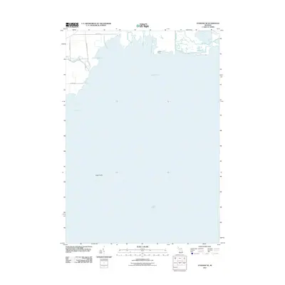
2011 Map of Standish NE
USGS Topo · Published 2011About this map
Lake Huron and the northwestern waters of Saginaw Bay dominate this survey, revealing the intricate interface between the Michigan shoreline and the Great Lakes. The terrestrial landscape is defined by the outflow of several watercourses, most notably the Rifle River and Pine River, which meander through the coastal lowlands of Arenac County. Notable coastal markers include the projection of Greens Point and the submerged profile of Saganing Bar, features essential for navigating these shallow bay waters. The rural road network, featuring Langdon Rd and Wigwam Rd, traces the agricultural and residential development just inland from the marshes and river mouths. This 2011 record documents the hydrology of the region, including the paths of Big Creek and the drainage patterns that have shaped the local geography for generations.
Find a feature on this map
12 named features on this map. Tap any name to fly to it.
Don’t see what you’re looking for? This feature index may not catch every label — zoom into the map to look around manually.
Map Details
Editions of this 2011 Standish NE Map
This is the sole edition of this map. No revisions or reprints were ever made.
Other maps of this area

1954 · Flint
USGS Topo · 1:250,000

1954 · Tawas City
USGS Topo · 1:250,000

1958 · Flint
USGS Topo · 1:250,000

1958 · Tawas City
USGS Topo · 1:250,000

1966 · Au Gres
USGS Topo · 1:24,000
1967 · Pinconning
USGS Topo · 1:24,000
1967 · Standish NE
USGS Topo · 1:24,000
1967 · Standish
USGS Topo · 1:24,000
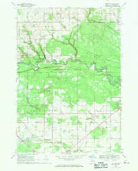
1968 · Omer SW
USGS Topo · 1:24,000
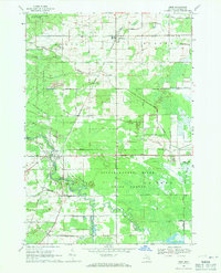
1968 · Omer
USGS Topo · 1:24,000