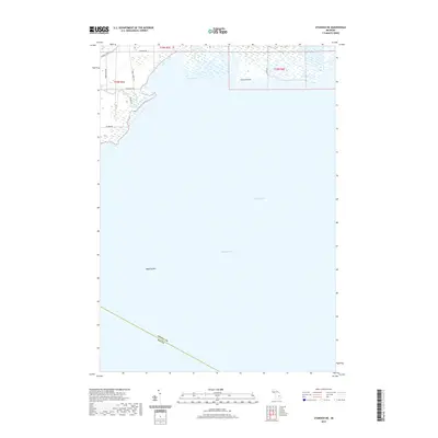
2019 Map of Standish NE
USGS Topo · Published 2019About this map
Wigwam Bay and the northern reaches of Saginaw Bay dominate this coastal landscape, where the waters of Lake Huron meet the shoreline of Arenac County. The map details a low-lying riparian environment defined by the confluence of the Pine River and the Rifle River as they enter the bay. This area represents a quiet intersection of land and water, where the terrestrial grid of roads like Arenac State Rd and Main Street Rd abruptly transitions into the expansive shoals and bars of the Great Lakes. The presence of features such as Greens Point and the submerged Saganing Bar illustrates the complex coastal bathymetry and shifting landforms typical of this part of Michigan's shoreline in the early 21st century.
Find a feature on this map
16 named features on this map. Tap any name to fly to it.
Don’t see what you’re looking for? This feature index may not catch every label — zoom into the map to look around manually.
Map Details
Editions of this 2019 Standish NE Map
This is the sole edition of this map. No revisions or reprints were ever made.
Other maps of this area

1954 · Flint
USGS Topo · 1:250,000

1954 · Tawas City
USGS Topo · 1:250,000

1958 · Flint
USGS Topo · 1:250,000

1958 · Tawas City
USGS Topo · 1:250,000

1966 · Au Gres
USGS Topo · 1:24,000
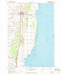
1967 · Pinconning
USGS Topo · 1:24,000
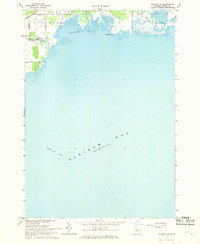
1967 · Standish NE
USGS Topo · 1:24,000
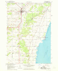
1967 · Standish
USGS Topo · 1:24,000
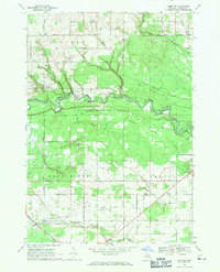
1968 · Omer SW
USGS Topo · 1:24,000
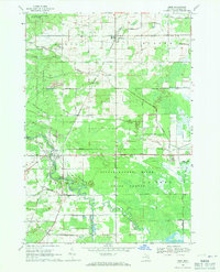
1968 · Omer
USGS Topo · 1:24,000