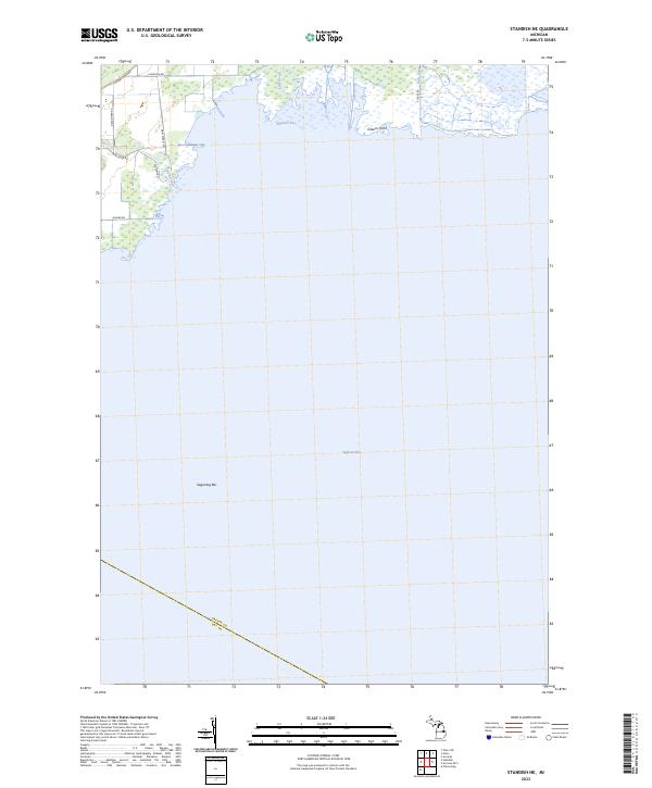
2023 Map of Standish NE
USGS Topo · Published 2023About this map
Wigwam Bay and the surrounding marshlands of the Saginaw Bay shoreline define this coastal region of Arenac County. This recent survey illustrates a landscape dominated by the mouth of the Rifle River and the meandering path of the Pine River as they reach the Great Lakes. The interface between land and water is marked by distinctive geographical features like Greens Point and the underwater Saganing Bar, reflecting the shifting nature of Michigan's eastern coastline. Local infrastructure follows the established section lines of the Public Land Survey System, with roads such as Main Street Rd, Arenac State Rd, and Pine River Rd providing access to the wetlands and seasonal drainages. The southern edge of the map identifies the jurisdictional boundary of Arenac Co Bay Co, marking the transition into the neighboring county.
Find a feature on this map
17 named features on this map. Tap any name to fly to it.
Don’t see what you’re looking for? This feature index may not catch every label — zoom into the map to look around manually.
Map Details
Editions of this 2023 Standish NE Map
This is the sole edition of this map. No revisions or reprints were ever made.
Other maps of this area

1954 · Flint
USGS Topo · 1:250,000

1954 · Tawas City
USGS Topo · 1:250,000

1958 · Flint
USGS Topo · 1:250,000

1958 · Tawas City
USGS Topo · 1:250,000

1966 · Au Gres
USGS Topo · 1:24,000
1967 · Pinconning
USGS Topo · 1:24,000
1967 · Standish NE
USGS Topo · 1:24,000
1967 · Standish
USGS Topo · 1:24,000
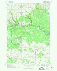
1968 · Omer SW
USGS Topo · 1:24,000
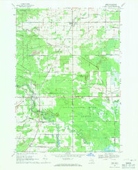
1968 · Omer
USGS Topo · 1:24,000