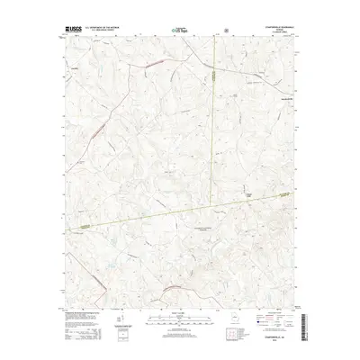
2014 Map of Stanfordville
USGS Topo · Published 2014About this map
Oconee National Forest dominates this landscape across the borders of Jasper, Jones, and Putnam counties, where dense woodland is broken by small rural settlements and water resources. The area is defined by its complex drainage network, featuring the headwaters of Little Cr, Cedar Cr, and Glady Cr. Human activity is concentrated along a web of forest and local roads such as Old Hillsboro Rd and Union Hill Church Rd, connecting isolated homesteads and local landmarks.
Find a feature on this map
44 named features on this map. Tap any name to fly to it.
Don’t see what you’re looking for? This feature index may not catch every label — zoom into the map to look around manually.
Map Details
Editions of this 2014 Stanfordville Map
This is the sole edition of this map. No revisions or reprints were ever made.
Other maps of this area

1953 · Athens
USGS Topo · 1:250,000

1958 · Athens
USGS Topo · 1:250,000

1959 · Athens
USGS Topo · 1:250,000

1963 · Athens
USGS Topo · 1:250,000

1964 · Gray
USGS Topo · 1:24,000
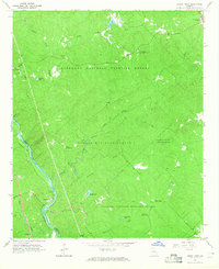
1964 · Dames Ferry
USGS Topo · 1:24,000

1964 · Stanfordville
USGS Topo · 1:24,000

1964 · Hillsboro
USGS Topo · 1:24,000

1972 · Monticello
USGS Topo · 1:24,000

1972 · Eatonton
USGS Topo · 1:24,000