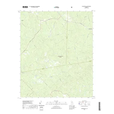
2020 Map of Stanfordville
USGS Topo · Published 2020About this map
The Oconee National Forest dominates the center of this Georgia quadrangle, where the borders of Jasper, Jones, and Putnam Counties converge. Small crossroads settlements like Stanfordville and Goolsby anchor a landscape defined by an intricate network of local routes, including Kinderhook Rd and Old Hillsboro Rd. The topography is marked by several impounded water bodies such as Hillsboro Lake, Walker- Laney Lake, and Dumas Lake, which serve as catchments for the many tributaries flowing through these timberlands.
Find a feature on this map
47 named features on this map. Tap any name to fly to it.
Don’t see what you’re looking for? This feature index may not catch every label — zoom into the map to look around manually.
Map Details
Editions of this 2020 Stanfordville Map
This is the sole edition of this map. No revisions or reprints were ever made.
Other maps of this area

1953 · Athens
USGS Topo · 1:250,000

1958 · Athens
USGS Topo · 1:250,000

1959 · Athens
USGS Topo · 1:250,000

1963 · Athens
USGS Topo · 1:250,000

1964 · Gray
USGS Topo · 1:24,000
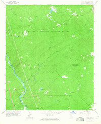
1964 · Dames Ferry
USGS Topo · 1:24,000

1964 · Stanfordville
USGS Topo · 1:24,000

1964 · Hillsboro
USGS Topo · 1:24,000

1972 · Monticello
USGS Topo · 1:24,000

1972 · Eatonton
USGS Topo · 1:24,000