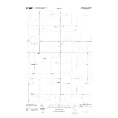
2013 Map of Stangelville
USGS Topo · Published 2013About this map
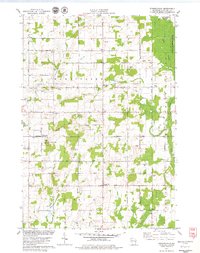
Dairy farming defines the character of this Kewaunee County landscape, where family-named agricultural operations like Salzsieder Farms, White Ledge Dairy, and Chervenka Farms are prominent landmarks. Small crossroad settlements anchor the rural road network, including the map's namesake Stangelville at the junction of Co Hwy-J and Wi-163, along with Ellisville, Pilsen, and Cherneyville.
Find a feature on this map
58 named features on this map. Tap any name to fly to it.
Don’t see what you’re looking for? This feature index may not catch every label — zoom into the map to look around manually.
Map Details
Editions of this 2013 Stangelville Map
This is the sole edition of this map. No revisions or reprints were ever made.
Other maps of this area
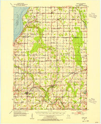
1952 · Casco
USGS Topo · 1:62,500
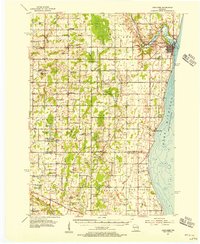
1954 · Kewaunee
USGS Topo · 1:62,500
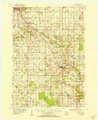
1954 · Denmark
USGS Topo · 1:62,500
1954 · New Franken
USGS Topo · 1:62,500

1954 · Manitowoc
USGS Topo · 1:250,000

1958 · Manitowoc
USGS Topo · 1:250,000
1978 · Casco
USGS Topo · 1:24,000
1978 · Denmark
USGS Topo · 1:24,000
1978 · Poland
USGS Topo · 1:24,000
1978 · Stangelville
USGS Topo · 1:24,000