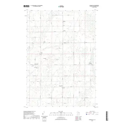
2018 Map of Stangelville
USGS Topo · Published 2018About this map
The agricultural landscape of Kewaunee County is defined by its small crossroads settlements and significant concentration of denominational cemeteries. Stangelville, Ellisville, and Pilsen anchor the rural road network, which is predominantly organized along section lines. This area is notably marked by its spiritual landmarks, including the Saint Wenceslaus Cem and the Saint John Nepomucene Catholic Cem, reflecting the ethnic and religious heritage of the farming families who settled this region.
Find a feature on this map
62 named features on this map. Tap any name to fly to it.
Don’t see what you’re looking for? This feature index may not catch every label — zoom into the map to look around manually.
Map Details
Editions of this 2018 Stangelville Map
This is the sole edition of this map. No revisions or reprints were ever made.
Other maps of this area

1952 · Casco
USGS Topo · 1:62,500

1954 · Kewaunee
USGS Topo · 1:62,500

1954 · Denmark
USGS Topo · 1:62,500

1954 · New Franken
USGS Topo · 1:62,500

1954 · Manitowoc
USGS Topo · 1:250,000

1958 · Manitowoc
USGS Topo · 1:250,000

1978 · Casco
USGS Topo · 1:24,000

1978 · Denmark
USGS Topo · 1:24,000

1978 · Poland
USGS Topo · 1:24,000

1978 · Stangelville
USGS Topo · 1:24,000