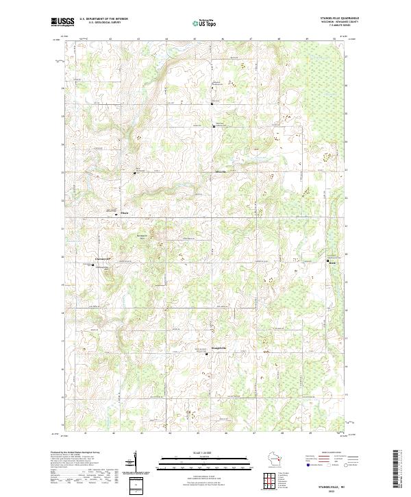
2022 Map of Stangelville
USGS Topo · Published 2022About this map
The agrarian hamlets of Pilsen, Cherneyville, and Ellisville anchor this portion of Kewaunee County, where the landscape is defined by the winding course of the E Twin River and several glacial features. Prominent terrain markers like Montpelier Hills and Cherneyville Hill rise above the surrounding farmland, while the northeast corner is characterized by the significant expanse of Lipsky Swamp.
Find a feature on this map
66 named features on this map. Tap any name to fly to it.
Don’t see what you’re looking for? This feature index may not catch every label — zoom into the map to look around manually.
Map Details
Editions of this 2022 Stangelville Map
This is the sole edition of this map. No revisions or reprints were ever made.
Other maps of this area

1952 · Casco
USGS Topo · 1:62,500

1954 · Kewaunee
USGS Topo · 1:62,500

1954 · Denmark
USGS Topo · 1:62,500

1954 · New Franken
USGS Topo · 1:62,500

1954 · Manitowoc
USGS Topo · 1:250,000

1958 · Manitowoc
USGS Topo · 1:250,000

1978 · Casco
USGS Topo · 1:24,000

1978 · Denmark
USGS Topo · 1:24,000

1978 · Poland
USGS Topo · 1:24,000

1978 · Stangelville
USGS Topo · 1:24,000