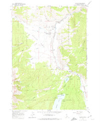
1963 Map of Stanley
USGS Topo · Published 1974About this map
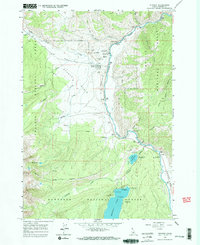
The high alpine landscape of Stanley Basin is documented here as it appeared in the early 1960s, centered on the historic mountain community of Stanley and its northern counterpart Lower Stanley. This era shows a transition toward recreation and conservation, with several established campsites like Chinook Bay Campground and Redfish Outlet Campground surrounding the iconic Redfish Lake. The map reveals the infrastructure supporting this remote area, from the Valley Creek Ranger Station and Gaging Station to the Stanley Municipal Airport. Local history is captured in the location of the Stanley Cem and various family-named landmarks like Joes Gulch and Sunny Gulch, while the natural topography is defined by the Salmon River and the high elevations of the Challis National Forest and Sawtooth National Forest.
Find a feature on this map
39 named features on this map. Tap any name to fly to it.
Don’t see what you’re looking for? This feature index may not catch every label — zoom into the map to look around manually.
Map Details
Editions of this 1963 Stanley Map
3 editions found
Other maps of this area

1891 · Bear Valley
USGS Topo · 1:125,000

1893 · Bear Valley
USGS Topo · 1:125,000

1919 · Custer
USGS Topo · 1:125,000

1922 · Custer
USGS Topo · 1:125,000

1957 · Challis
USGS Topo · 1:250,000

1960 · Challis
USGS Topo · 1:250,000

1963 · Challis
USGS Topo · 1:250,000

1963 · Mt Cramer
USGS Topo · 1:24,000

1963 · Stanley
USGS Topo · 1:24,000

1963 · Basin Butte
USGS Topo · 1:24,000