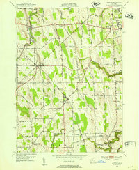
1952 Map of Stanley
USGS Topo · Published 1953About this map
Agricultural research and railway hubs dominate this landscape on the outskirts of Geneva, where the State Agricultural Experiment Station reflects the area's deep ties to horticultural science. The village of Stanley serves as a critical junction, showing the crossing of the Lehigh Valley RR and the Pennsylvania RR, a configuration that once made this a bustling center for moving regional produce.
Find a feature on this map
112 named features on this map. Tap any name to fly to it.
Don’t see what you’re looking for? This feature index may not catch every label — zoom into the map to look around manually.
Map Details
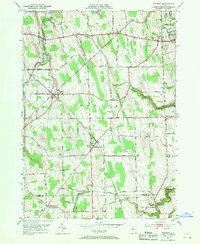
Editions of this 1952 Stanley Map
2 editions found
Other maps of this area

1902 · Geneva
USGS Topo · 1:62,500

1902 · Phelps
USGS Topo · 1:62,500

1902 · Ovid
USGS Topo · 1:62,500

1903 · Penn Yan
USGS Topo · 1:62,500

1942 · Penn Yan
USGS Topo · 1:31,680

1942 · Rushville
USGS Topo · 1:31,680

1942 · Potter
USGS Topo · 1:31,680

1942 · Stanley
USGS Topo · 1:31,680

1943 · Dresden
USGS Topo · 1:31,680

1943 · Geneva North
USGS Topo · 1:31,680