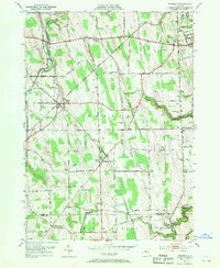
1952 Map of Stanley
USGS Topo · Published 1970About this map
Agricultural research and rural cross-roads define this interior landscape west of Geneva during the early 1950s. The northern reaches are dominated by the State Agricultural Experiment Station and the Agricultural Experiment Station, highlighting the region's importance to New York's farming sciences. A dense network of numbered school districts, such as School No 12 at Hall and School No 9 near Old No 9 Ch, provides a clear view of the localized community structure that persisted here mid-century.
Find a feature on this map
81 named features on this map. Tap any name to fly to it.
Don’t see what you’re looking for? This feature index may not catch every label — zoom into the map to look around manually.
Map Details
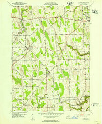
Editions of this 1952 Stanley Map
2 editions found
Other maps of this area

1902 · Geneva
USGS Topo · 1:62,500

1902 · Phelps
USGS Topo · 1:62,500

1902 · Ovid
USGS Topo · 1:62,500

1903 · Penn Yan
USGS Topo · 1:62,500

1942 · Penn Yan
USGS Topo · 1:31,680

1942 · Rushville
USGS Topo · 1:31,680

1942 · Potter
USGS Topo · 1:31,680

1942 · Stanley
USGS Topo · 1:31,680

1943 · Dresden
USGS Topo · 1:31,680

1943 · Geneva North
USGS Topo · 1:31,680