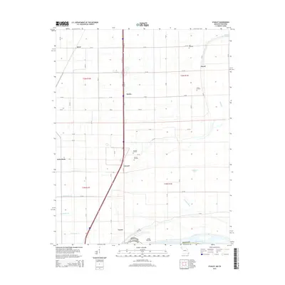
2015 Map of Stanley
USGS Topo · Published 2015About this map
Gayoso and the agricultural lands of southern Pemiscot County are defined by a complex network of drainage canals and the shifting hydrology of the Mississippi River. This landscape, documented in the mid-2010s, reveals a territory shaped by reclamation, where features like Ditch Number 23 and Ditch Number 25 manage the low-lying terrain near the Tennessee border. Small settlements such as Stancil, Stanley, and Netherlands are connected by a grid of county roads, with Interstate 55 slicing through the center of the sheet. Genealogists will find significant value in the distribution of family and community burial grounds, including Ross Cemetery, Stancil Cemetery, Dry Bayou Cemetery, and Averill Cemetery. The presence of Sandy Hook Bar and Robinson Lake further illustrates the river's historical influence on this borderland geography, where state lines and waterway channels meet.
Find a feature on this map
56 named features on this map. Tap any name to fly to it.
Don’t see what you’re looking for? This feature index may not catch every label — zoom into the map to look around manually.
Map Details
Editions of this 2015 Stanley Map
This is the sole edition of this map. No revisions or reprints were ever made.
Other maps of this area

1939 · Portageville
USGS Topo · 1:62,500

1939 · Caruthersville
USGS Topo · 1:62,500

1940 · Pascola
USGS Topo · 1:62,500

1940 · Hayti
USGS Topo · 1:62,500

1951 · Caruthersville
USGS Topo · 1:62,500

1955 · Pascola
USGS Topo · 1:62,500

1955 · Hayti
USGS Topo · 1:62,500

1955 · Portageville
USGS Topo · 1:62,500

1956 · Dyersburg
USGS Topo · 1:250,000

1957 · Caruthersville
USGS Topo · 1:62,500