
1960 Map of Stanley
USGS Topo · Published 1963About this map
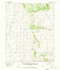
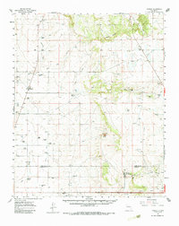
Stanley serves as the primary hub for this high-desert ranching landscape along the border of Santa Fe Co and Torrance Co. The settlement pattern is defined by widely dispersed family holdings and livestock operations, such as the Fisher Ranch and Erramousbe Ranch, which are situated to navigate the drainage systems of Kinsell Draw and Armijo Draw. The map documents a transition in land use, showing the presence of the Moriarty Air Force Sta near the southern boundary alongside traditional water features like Stinking Spring and White Lakes. Geologic and historic landmarks are prominent, notably El Cuervo Butte and the San Cristobal Grant Boundary, reflecting the complex history of Spanish land grants in New Mexico. Genealogists will find the Stanley Cem and numerous named windmills and tanks essential for locating ancestral ranching sites.
Find a feature on this map
51 named features on this map. Tap any name to fly to it.
Don’t see what you’re looking for? This feature index may not catch every label — zoom into the map to look around manually.
Map Details
Editions of this 1960 Stanley Map
3 editions found
Other maps of this area

1892 · San Pedro
USGS Topo · 1:125,000

1894 · Lamy
USGS Topo · 1:125,000

1917 · Estancia
USGS Topo · 1:125,000

1954 · Santa Fe
USGS Topo · 1:250,000

1954 · Fort Sumner
USGS Topo · 1:250,000

1954 · Socorro
USGS Topo · 1:250,000

1956 · Edgewood
USGS Topo · 1:62,500

1956 · Estancia
USGS Topo · 1:62,500

1958 · Socorro
USGS Topo · 1:250,000

1958 · Fort Sumner
USGS Topo · 1:250,000