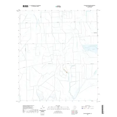
2022 Map of Stanolind Reservoir
USGS Topo · Published 2022About this map
The Stanolind Reservoir and an intricate network of irrigation infrastructure define this coastal prairie landscape in Chambers County. The presence of the Chambers-Liberty Counties Navigation District Canal, Devers Main Canal, and Devers East Canal illustrates the intensive water management required for the region's agricultural operations. These man-made waterways intersect with natural drainages such as Onion Bayou and Elm Bayou, creating a complex hydrographic pattern typical of the Texas Gulf Coast.
Find a feature on this map
20 named features on this map. Tap any name to fly to it.
Don’t see what you’re looking for? This feature index may not catch every label — zoom into the map to look around manually.
Map Details
Editions of this 2022 Stanolind Reservoir Map
This is the sole edition of this map. No revisions or reprints were ever made.
Other maps of this area

1931 · High Island
USGS Topo · 1:24,000

1931 · Frozen Point
USGS Topo · 1:24,000

1933 · Frozen Point
USGS Topo · 1:31,680

1943 · High Island
USGS Topo · 1:31,680

1943 · Frozen Point
USGS Topo · 1:24,000

1943 · Sea Breeze
USGS Topo · 1:24,000

1943 · Stowell
USGS Topo · 1:24,000

1945 · Sea Breeze
USGS Topo · 1:31,680

1950 · Houston
USGS Topo · 1:250,000

1956 · Houston
USGS Topo · 1:250,000