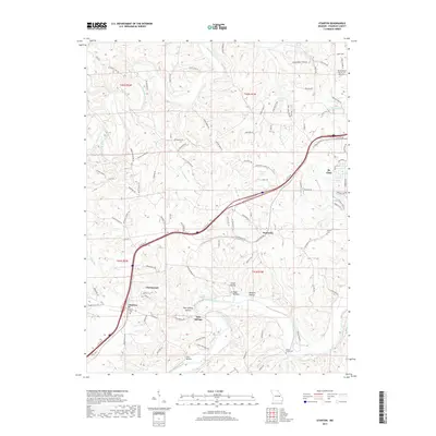
2017 Map of Stanton
USGS Topo · Published 2017About this map
The Meramec River and its northern counterpart, the Bourbeuse River, frame a landscape of deep hollows and ridgelines in Franklin County. This region is anchored by the communities of St. Clair and Anaconda, where the alignment of Interstate 44 and historical service roads like N Svc Rd W follow the established corridor of the Ozark foothills. Numerous hollows, including Dutch Hollow and Twin Springs Hollow, illustrate the complex drainage patterns feeding into the larger river systems.
Find a feature on this map
109 named features on this map. Tap any name to fly to it.
Don’t see what you’re looking for? This feature index may not catch every label — zoom into the map to look around manually.
Map Details
Editions of this 2017 Stanton Map
This is the sole edition of this map. No revisions or reprints were ever made.
Other maps of this area

1901 · De Soto
USGS Topo · 1:125,000

1903 · Sullivan
USGS Topo · 1:125,000

1934 · Meramec State Park
USGS Topo · 1:24,000

1937 · Meramec State Park
USGS Topo · 1:24,000

1946 · Richwoods
USGS Topo · 1:62,500

1946 · Union
USGS Topo · 1:62,500

1947 · Sullivan
USGS Topo · 1:62,500

1947 · St. Clair
USGS Topo · 1:62,500

1948 · Richwoods
USGS Topo · 1:62,500

1948 · Union
USGS Topo · 1:62,500