
1964 Map of Stanton
USGS Topo · Published 1966About this map
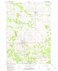
The Stanton area in the mid-1960s reveals a landscape defined by its agricultural roots and the local extraction industry. The Stanton Oil Field occupies the western portion of the township, marked by several active drill sites including a notable Oil Well near Westville. This industrial activity sits alongside the Chesapeake and Ohio Railroad, which bisects the region and connects the central village to the smaller settlement of McBrides (McBride) to the north.
Find a feature on this map
48 named features on this map. Tap any name to fly to it.
Don’t see what you’re looking for? This feature index may not catch every label — zoom into the map to look around manually.
Map Details
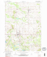
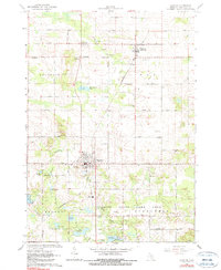
Editions of this 1964 Stanton Map
4 editions found
Other maps of this area

1954 · Midland
USGS Topo · 1:250,000

1958 · Midland
USGS Topo · 1:250,000

1959 · Midland
USGS Topo · 1:250,000

1964 · Edmore
USGS Topo · 1:24,000

1964 · Six Lakes
USGS Topo · 1:24,000

1964 · Langston
USGS Topo · 1:24,000

1965 · Vestaburg
USGS Topo · 1:24,000

1965 · Crystal
USGS Topo · 1:24,000

1966 · Midland
USGS Topo · 1:250,000
1967 · Butternut
USGS Topo · 1:24,000