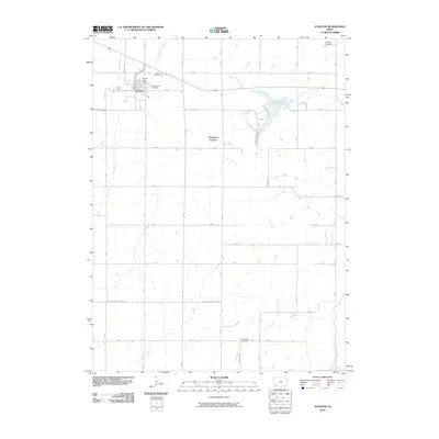
2010 Map of Stanton
USGS Topo · Published 2010About this map
Stanton serves as the primary hub of this Montgomery County landscape, situated where the Tarkio River and Little Tarkio Creek converge. The town's civic life is centered around the Stanton Post Office, while its heritage is preserved in the nearby Mamrelund Cemetery and Mamre Cemetery. The surrounding countryside is defined by a grid of agricultural roads that cross numerous waterways, including East Tarkio Creek and the West Nodaway River in the southeast corner.
Find a feature on this map
36 named features on this map. Tap any name to fly to it.
Don’t see what you’re looking for? This feature index may not catch every label — zoom into the map to look around manually.
Map Details
Editions of this 2010 Stanton Map
This is the sole edition of this map. No revisions or reprints were ever made.
Other maps of this area

1954 · Omaha
USGS Topo · 1:250,000

1955 · Nebraska City
USGS Topo · 1:250,000

1957 · Nebraska City
USGS Topo · 1:250,000

1957 · Omaha
USGS Topo · 1:250,000

1958 · Omaha
USGS Topo · 1:250,000

1958 · Nebraska City
USGS Topo · 1:250,000

1978 · Stanton
USGS Topo · 1:24,000

1978 · Stanton SW
USGS Topo · 1:24,000

1978 · Wallin
USGS Topo · 1:24,000

1978 · Clarinda North
USGS Topo · 1:24,000