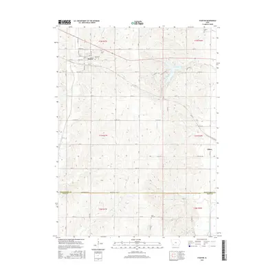
2015 Map of Stanton
USGS Topo · Published 2015About this map
The settlement of Stanton serves as a focal point in this portion of Montgomery County, characterized by a grid of residential streets including Frankfort St and Highland St. To the east, the landscape is defined by the recreational waters of Viking Lake, which is fed by Dunns Cr and serves as a significant regional landmark. The map documents several important sites for local genealogy, including Mamrelund Cem and Mamre Cem near the town center, as well as the more distant Arlington Cem to the northeast and North Page Cem along the southern border with Page County.
Find a feature on this map
40 named features on this map. Tap any name to fly to it.
Don’t see what you’re looking for? This feature index may not catch every label — zoom into the map to look around manually.
Map Details
Editions of this 2015 Stanton Map
This is the sole edition of this map. No revisions or reprints were ever made.
Other maps of this area

1954 · Omaha
USGS Topo · 1:250,000

1955 · Nebraska City
USGS Topo · 1:250,000

1957 · Nebraska City
USGS Topo · 1:250,000

1957 · Omaha
USGS Topo · 1:250,000

1958 · Omaha
USGS Topo · 1:250,000

1958 · Nebraska City
USGS Topo · 1:250,000

1978 · Stanton
USGS Topo · 1:24,000

1978 · Stanton SW
USGS Topo · 1:24,000

1978 · Wallin
USGS Topo · 1:24,000

1978 · Clarinda North
USGS Topo · 1:24,000