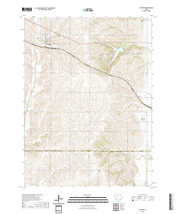
2022 Map of Stanton
USGS Topo · Published 2022About this map
The settlement of Stanton serves as a primary hub in this southwest Iowa landscape, defined by a grid of rural roads and the undulating drainages of the Tarkio River and its tributaries. Local genealogy and history are preserved at several burial sites including Mamre Cem, Mamrelund Cem, and Arlington Cem near the northern border. To the east, the recreational focus of the area is Viking Lake State Park, where the Viking Lake Trl and Bur Oak Trl skirt the shores of Viking Lake.
Find a feature on this map
48 named features on this map. Tap any name to fly to it.
Don’t see what you’re looking for? This feature index may not catch every label — zoom into the map to look around manually.
Map Details
Editions of this 2022 Stanton Map
This is the sole edition of this map. No revisions or reprints were ever made.
Other maps of this area

1954 · Omaha
USGS Topo · 1:250,000

1955 · Nebraska City
USGS Topo · 1:250,000

1957 · Nebraska City
USGS Topo · 1:250,000

1957 · Omaha
USGS Topo · 1:250,000

1958 · Omaha
USGS Topo · 1:250,000

1958 · Nebraska City
USGS Topo · 1:250,000

1978 · Stanton
USGS Topo · 1:24,000

1978 · Stanton SW
USGS Topo · 1:24,000

1978 · Wallin
USGS Topo · 1:24,000

1978 · Clarinda North
USGS Topo · 1:24,000