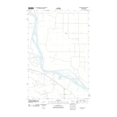
2011 Map of Stanton SE
USGS Topo · Published 2011About this map
The Missouri River winds through this landscape in McLean County, defining the local geography as it flows past the meandering banks and small islands of the northern plains. This 2011 survey captures a rural environment structured by a precise grid of section roads like 3rd St SW and 36th Ave SW. This systematic layout reflects the enduring influence of the Public Land Survey System on the North Dakota prairie. For those tracing family histories or early settlement patterns, the map preserves the locations of several localized burial grounds, including Basto Cemetery in the north and the neighboring Alderin Cemetery and Deapolis Cemetery located near the southern bends of the river. The presence of Alderin Creek further details the drainage patterns that shaped the placement of these early landmarks and roads.
Find a feature on this map
17 named features on this map. Tap any name to fly to it.
Don’t see what you’re looking for? This feature index may not catch every label — zoom into the map to look around manually.
Map Details
Editions of this 2011 Stanton SE Map
This is the sole edition of this map. No revisions or reprints were ever made.
Other maps of this area

1948 · Stanton
USGS Topo · 1:62,500

1949 · Stanton
USGS Topo · 1:62,500

1949 · Washburn
USGS Topo · 1:62,500

1954 · McClusky
USGS Topo · 1:250,000

1958 · McClusky
USGS Topo · 1:250,000

1961 · Underwood
USGS Topo · 1:24,000

1967 · Washburn SW
USGS Topo · 1:24,000

1967 · Stanton SE
USGS Topo · 1:24,000

1968 · Hannover NE
USGS Topo · 1:24,000

1968 · Fort Clark
USGS Topo · 1:24,000