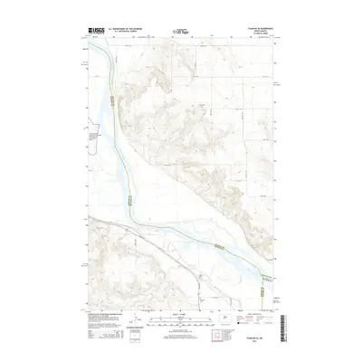
2014 Map of Stanton SE
USGS Topo · Published 2014About this map
The Missouri River carves a deep path through the North Dakota plains, marking the boundaries between Mercer, McLean, and Oliver counties. Along its western bank, the Knife River Indian Villages National Historic Site preserves a vital archaeological and cultural landscape. The terrain is characterized by dissected bluffs and drainage systems like Alderin Cr, which flows toward the river valley near the junction of ND-200-Alt. Evidence of the area's rural settlement is found in several small burying grounds, including Basto Cem on the high ground to the north, and Alderin Cem and Deapolis Cem further south. These sites, connected by a grid of section-line roads like 40th Ave SW and 11th St SW, offer a precise look at the local geography before modern development significantly altered the historic prairie landscape.
Find a feature on this map
29 named features on this map. Tap any name to fly to it.
Don’t see what you’re looking for? This feature index may not catch every label — zoom into the map to look around manually.
Map Details
Editions of this 2014 Stanton SE Map
This is the sole edition of this map. No revisions or reprints were ever made.
Other maps of this area

1948 · Stanton
USGS Topo · 1:62,500

1949 · Stanton
USGS Topo · 1:62,500

1949 · Washburn
USGS Topo · 1:62,500

1954 · McClusky
USGS Topo · 1:250,000

1958 · McClusky
USGS Topo · 1:250,000

1961 · Underwood
USGS Topo · 1:24,000

1967 · Washburn SW
USGS Topo · 1:24,000

1967 · Stanton SE
USGS Topo · 1:24,000

1968 · Hannover NE
USGS Topo · 1:24,000

1968 · Fort Clark
USGS Topo · 1:24,000