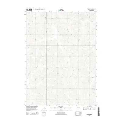
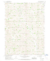
2014 Map of Stanton SW
USGS Topo · Published 2014About this map
Erychleb Cem stands as a quiet focal point in the northwest corner of this rural Stanton County landscape. The terrain is defined by a dense network of watercourses, including Butterfly Cr, Wells Cr, and the headwaters of Cedar Cr, which carve through the high plains. The map reveals the strict section-line grid of the region's agricultural heartland, where roads such as 566 Ave and 828 Rd provide the primary framework for local travel. This 2014 survey documents a modern rural environment where historic family burial grounds like the Erychleb cemetery remain preserved amidst expansive farm fields. The drainage patterns of the E Fork Maple Cr in the east illustrate the complex hydrology of this part of Nebraska, providing a clear record of the area's physical geography for local historians and land researchers.
Find a feature on this map
20 named features on this map. Tap any name to fly to it.
Don’t see what you’re looking for? This feature index may not catch every label — zoom into the map to look around manually.
Map Details
Editions of this 2014 Stanton SW Map
This is the sole edition of this map. No revisions or reprints were ever made.
Other maps of this area

1955 · Fremont
USGS Topo · 1:250,000

1957 · Fremont
USGS Topo · 1:250,000

1958 · Fremont
USGS Topo · 1:250,000

1963 · Madison SE
USGS Topo · 1:24,000
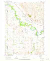
1963 · Madison NE
USGS Topo · 1:24,000
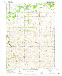
1963 · Stanton NE
USGS Topo · 1:24,000
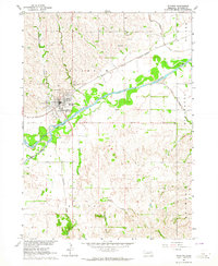
1963 · Stanton
USGS Topo · 1:24,000

1966 · Clarkson
USGS Topo · 1:24,000

1966 · Creston
USGS Topo · 1:24,000
1966 · Stanton SE
USGS Topo · 1:24,000