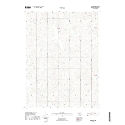
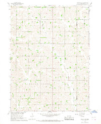
2017 Map of Stanton SW
USGS Topo · Published 2017About this map
Erychleb Cem stands as a quiet focal point in this agricultural landscape within Stanton County. The terrain is defined by a series of north-south running section roads, including 566th Ave and 568th Ave, which intersect a rhythmic grid of rural routes from 823rd Rd up to 831st Rd. This layout reflects the enduring influence of the Public Land Survey System on the Nebraska plains, where the land is partitioned into distinct blocks like t22n r2e and t21n r3e.
Find a feature on this map
25 named features on this map. Tap any name to fly to it.
Don’t see what you’re looking for? This feature index may not catch every label — zoom into the map to look around manually.
Map Details
Editions of this 2017 Stanton SW Map
This is the sole edition of this map. No revisions or reprints were ever made.
Other maps of this area

1955 · Fremont
USGS Topo · 1:250,000

1957 · Fremont
USGS Topo · 1:250,000

1958 · Fremont
USGS Topo · 1:250,000

1963 · Madison SE
USGS Topo · 1:24,000
1963 · Madison NE
USGS Topo · 1:24,000
1963 · Stanton NE
USGS Topo · 1:24,000
1963 · Stanton
USGS Topo · 1:24,000

1966 · Clarkson
USGS Topo · 1:24,000

1966 · Creston
USGS Topo · 1:24,000
1966 · Stanton SE
USGS Topo · 1:24,000