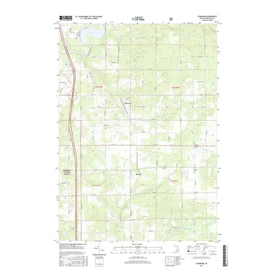
2017 Map of Stanwood
USGS Topo · Published 2017About this map
Stanwood and the smaller settlement of Borland anchor this central Michigan landscape, which is defined by the course of the Muskegon River and its varied tributaries. The northwestern corner features the wide waters of Rogers Dam Pond, while the southern reaches are crossed by the Little Muskegon River and Quigley Cr. This 2017 record illustrates how the recreational corridors of the Fred Meijer White Pine Trail State Park and the edges of the Manistee National Forest overlap with a persistent grid of rural section roads.
Find a feature on this map
46 named features on this map. Tap any name to fly to it.
Don’t see what you’re looking for? This feature index may not catch every label — zoom into the map to look around manually.
Map Details
Editions of this 2017 Stanwood Map
This is the sole edition of this map. No revisions or reprints were ever made.
Other maps of this area

1954 · Midland
USGS Topo · 1:250,000

1958 · Midland
USGS Topo · 1:250,000

1958 · Sand Lake
USGS Topo · 1:62,500

1958 · Woodville
USGS Topo · 1:62,500

1958 · Big Rapids
USGS Topo · 1:62,500

1959 · Midland
USGS Topo · 1:250,000

1959 · Howard City
USGS Topo · 1:62,500

1966 · Midland
USGS Topo · 1:250,000

1976 · Big Rapids SE
USGS Topo · 1:24,000

1976 · Big Rapids SW
USGS Topo · 1:24,000