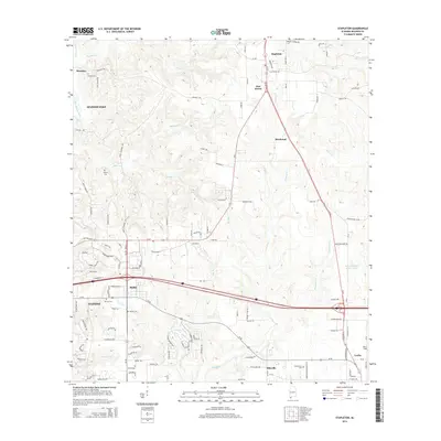
2014 Map of Stapleton
USGS Topo · Published 2014About this map
Fish River and its numerous tributaries, including Threemile Cr and Bay Br, define the drainage of this Baldwin County landscape. The area shows a mix of rural crossroads and growing residential clusters, particularly around Stapleton in the north and the expanding footprint of Daphne and Spanish Fort to the west. Local history is anchored by several long-standing burial grounds such as Durant Cem, Sibley Cem, and the Mt Aid Cem.
Find a feature on this map
128 named features on this map. Tap any name to fly to it.
Don’t see what you’re looking for? This feature index may not catch every label — zoom into the map to look around manually.
Map Details
Editions of this 2014 Stapleton Map
This is the sole edition of this map. No revisions or reprints were ever made.
Other maps of this area

1920 · Robertsdale
USGS Topo · 1:62,500

1921 · Fairhope
USGS Topo · 1:62,500

1939 · Daphne
USGS Topo · 1:31,680

1940 · Silverhill
USGS Topo · 1:31,680

1941 · Daphne
USGS Topo · 1:31,680

1941 · Silverhill
USGS Topo · 1:31,680

1941 · Blakeley
USGS Topo · 1:31,680

1941 · Bay Minette
USGS Topo · 1:62,500

1941 · Robertsdale
USGS Topo · 1:62,500

1941 · Fairhope
USGS Topo · 1:62,500