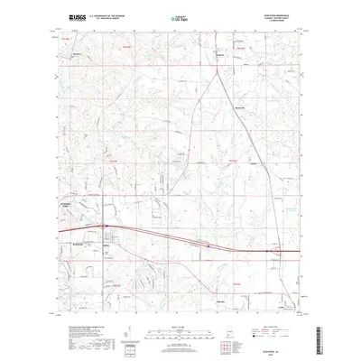
2018 Map of Stapleton
USGS Topo · Published 2018About this map
Stapleton and the agricultural lands of central Baldwin County appear here as they were during the late 2010s. The landscape is defined by the headwaters of several critical Gulf Coast drainage systems, including the Fish River and Bay Minette Cr. For genealogists and local historians, several family-named landmarks and historical sites are clearly marked, such as Durant Cem in Bromley and the Greek Orthodox roots of Malbis, which includes the Malbis Cem. The northern expansion of Daphne and Spanish Fort is evident along the Spanish Fort Blvd corridor. To the east, the rural community of Loxley is documented near Paul Childress Junior Lake, while smaller hamlets like Ellisville and Steelwood maintain their distinct identities amidst the expanding road networks and timberlands of the Dolive Ridge area.
Find a feature on this map
90 named features on this map. Tap any name to fly to it.
Don’t see what you’re looking for? This feature index may not catch every label — zoom into the map to look around manually.
Map Details
Editions of this 2018 Stapleton Map
This is the sole edition of this map. No revisions or reprints were ever made.
Other maps of this area

1920 · Robertsdale
USGS Topo · 1:62,500

1921 · Fairhope
USGS Topo · 1:62,500

1939 · Daphne
USGS Topo · 1:31,680

1940 · Silverhill
USGS Topo · 1:31,680

1941 · Daphne
USGS Topo · 1:31,680

1941 · Silverhill
USGS Topo · 1:31,680

1941 · Blakeley
USGS Topo · 1:31,680

1941 · Bay Minette
USGS Topo · 1:62,500

1941 · Robertsdale
USGS Topo · 1:62,500

1941 · Fairhope
USGS Topo · 1:62,500