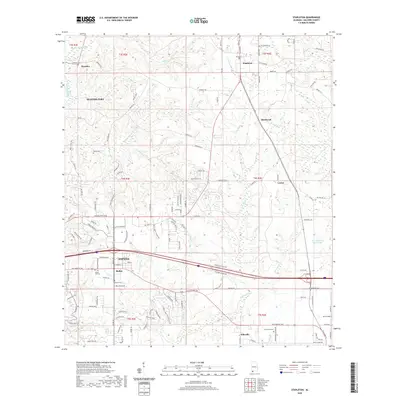
2020 Map of Stapleton
USGS Topo · Published 2020About this map
Daphne and the surrounding Baldwin County landscape are characterized by a dense network of watercourses and expanding residential development. The upper reaches of Fish River and Bay Minette Creek wind through the terrain, joined by numerous tributaries like Sibley Creek and Turkey Branch. This 2020 survey documents the modern footprint of settlements such as Malbis, Bromley, and Stapleton, showing a mix of established community centers and newer suburban subdivisions. Genealogists will find several burial sites noted, including Malbis Cemetery and Mount Aid Cemetery. The map also captures the agricultural and timber-linked outskirts of Loxley and Ellisville, where the land transitions into more open fields near Berry Field. Notable landmarks like Steelwood and Paul Childress Junior Lake highlight the area's contemporary land use patterns and recreational developments east of the Interstate 10 corridor.
Find a feature on this map
141 named features on this map. Tap any name to fly to it.
Don’t see what you’re looking for? This feature index may not catch every label — zoom into the map to look around manually.
Map Details
Editions of this 2020 Stapleton Map
This is the sole edition of this map. No revisions or reprints were ever made.
Other maps of this area

1920 · Robertsdale
USGS Topo · 1:62,500

1921 · Fairhope
USGS Topo · 1:62,500

1939 · Daphne
USGS Topo · 1:31,680

1940 · Silverhill
USGS Topo · 1:31,680

1941 · Daphne
USGS Topo · 1:31,680

1941 · Silverhill
USGS Topo · 1:31,680

1941 · Blakeley
USGS Topo · 1:31,680

1941 · Bay Minette
USGS Topo · 1:62,500

1941 · Robertsdale
USGS Topo · 1:62,500

1941 · Fairhope
USGS Topo · 1:62,500