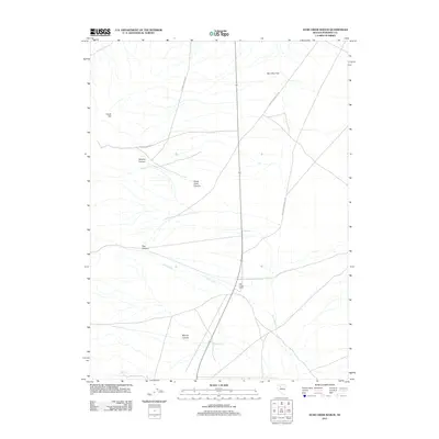
2011 Map of Star Creek Ranch
USGS Topo · Published 2011About this map
Star Creek Ranch anchors this portion of Pershing County, situated where the high desert terrain of the Star Canyon and Bloody Canyon drainages meets the expanse of Dun Glen Flat. The landscape is defined by the erosion of the western slope, where Star Creek flows toward the basin. Historically significant transport routes such as the Dun Glen-Star City Rd and the Dun Glen-Unionville Rd cut through the territory, marking the paths between early mining hubs. The topography transitions from the elevations of Creek Hill and Santa Clara Canyon down to the alluvial floor, illustrating the characteristic Great Basin relationship between mountain water sources and ranching outposts.
Find a feature on this map
11 named features on this map. Tap any name to fly to it.
Don’t see what you’re looking for? This feature index may not catch every label — zoom into the map to look around manually.
Map Details
Editions of this 2011 Star Creek Ranch Map
This is the sole edition of this map. No revisions or reprints were ever made.
Other maps of this area

1931 · Lovelock
USGS Topo · 1:250,000

1932 · Sonoma Range
USGS Topo · 1:250,000

1935 · Lovelock
USGS Topo · 1:250,000

1939 · Sonoma Range
USGS Topo · 1:250,000

1954 · Unionville
USGS Topo · 1:62,500

1955 · Lovelock
USGS Topo · 1:250,000

1955 · Winnemucca
USGS Topo · 1:250,000

1956 · Imlay
USGS Topo · 1:62,500

1958 · Winnemucca
USGS Topo · 1:250,000

1959 · Lovelock
USGS Topo · 1:250,000