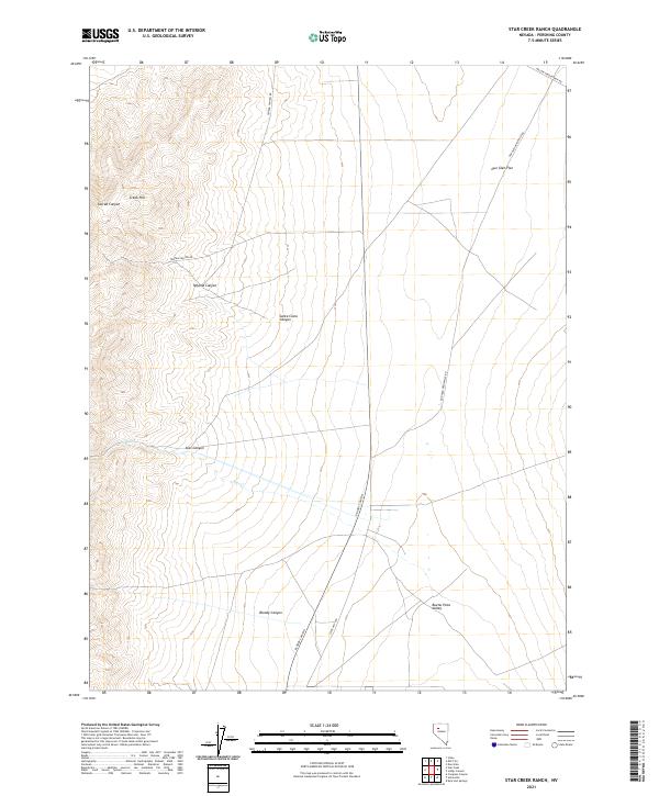
2021 Map of Star Creek Ranch
USGS Topo · Published 2021About this map
Buena Vista Valley and the surrounding high desert topography of Pershing County define this western Nevada landscape. The terrain is deeply incised by drainage systems that have carved prominent features such as Star Canyon, Bloody Canyon, and Tehama Canyon. These seasonal watercourses flow eastward from the high peaks toward the broad expanses of Dun Glen Flat, illustrating the typical Great Basin drainage pattern where water remains within interior basins rather than reaching the sea. The map traces historical transit corridors like the Dun Glen-Unionville Rd, which historically linked early mining and ranching outposts across this arid region. From the summit of Creek Hill down to the intersection with State Hwy 400, the land use remains predominantly focused on remote ranching operations, such as those accessed via Willow Creek Ranch Rd.
Find a feature on this map
19 named features on this map. Tap any name to fly to it.
Don’t see what you’re looking for? This feature index may not catch every label — zoom into the map to look around manually.
Map Details
Editions of this 2021 Star Creek Ranch Map
This is the sole edition of this map. No revisions or reprints were ever made.
Other maps of this area

1931 · Lovelock
USGS Topo · 1:250,000

1932 · Sonoma Range
USGS Topo · 1:250,000

1935 · Lovelock
USGS Topo · 1:250,000

1939 · Sonoma Range
USGS Topo · 1:250,000

1954 · Unionville
USGS Topo · 1:62,500

1955 · Lovelock
USGS Topo · 1:250,000

1955 · Winnemucca
USGS Topo · 1:250,000

1956 · Imlay
USGS Topo · 1:62,500

1958 · Winnemucca
USGS Topo · 1:250,000

1959 · Lovelock
USGS Topo · 1:250,000