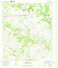
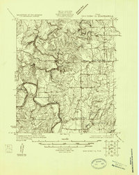
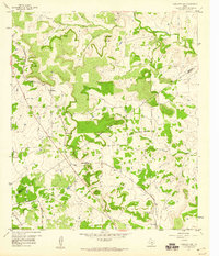
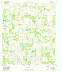
1959 Map of Star
USGS Topo · Published 1979About this map
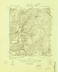
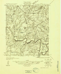
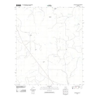
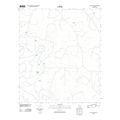
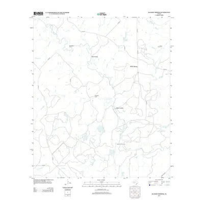
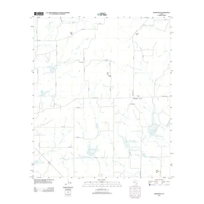
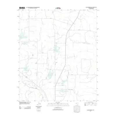
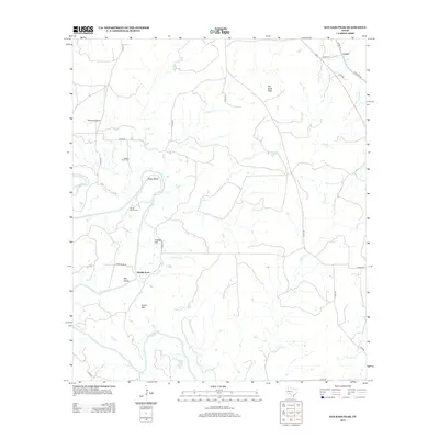
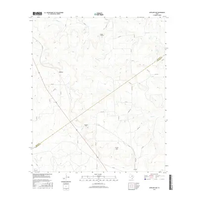
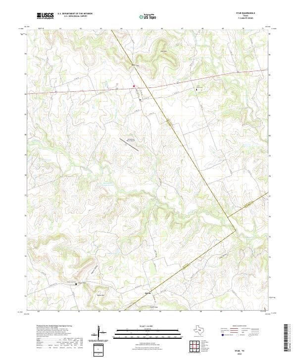
The community of Star sits at the junction of several drainage systems where the southern edge of Hamilton County meets Mills County. This landscape is defined by its dramatic topographic shifts, marked by prominent rises like Star Mountain and the significant pass at Hurst Gap. To the south, the settlement of Moline lies near the Mills and Lampasas County boundary, connected by winding rural roads and an extensive Pipeline network. The area’s ranching roots are evident in landmarks such as the Hurst Ranch Cem, while the hydrological network of Bennett Creek and the Lampasas River dictates the region’s agricultural potential. The varied elevations around Payne Mountain and the distinct openings of Payne Gap and Castle Gap reveal how early settlers navigated the terrain to establish remote homesteads and crossroads in this central Texas territory.
Find a feature on this map
19 named features on this map. Tap any name to fly to it.
Don’t see what you’re looking for? This feature index may not catch every label — zoom into the map to look around manually.
Map Details
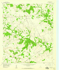
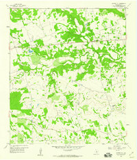
Editions of this 1959 Star Map
2 editions found
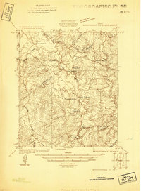
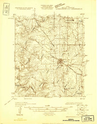
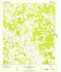
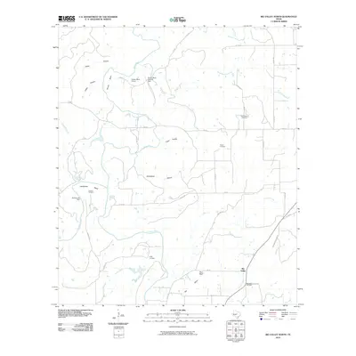
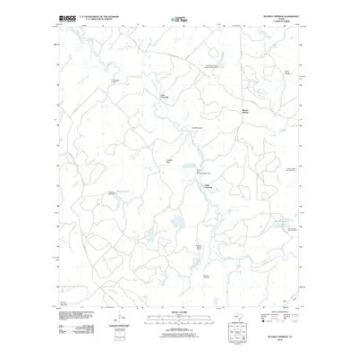
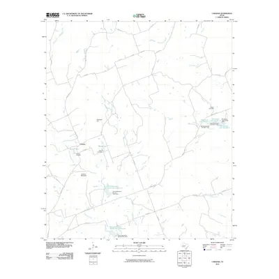
Historical Maps of Moline Through Time
65 maps found
1925 Brownwood 3-d
Mills County, TX
1925 Brownwood 4-c
Mills County, TX
1925 San Saba 1-b
Mills County, TX
1925 San Saba 1-d
Mills County, TX
1925 San Saba 2-a
Mills County, TX
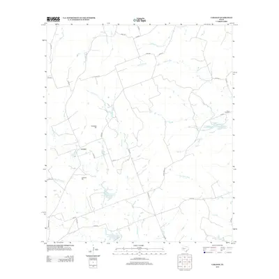
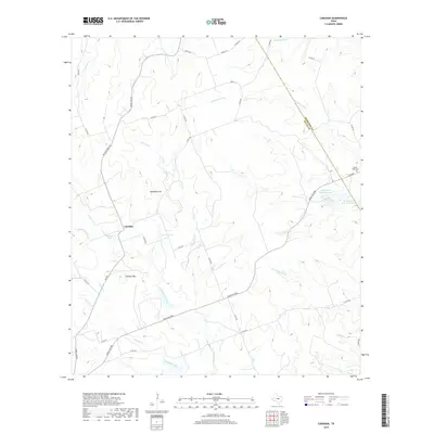
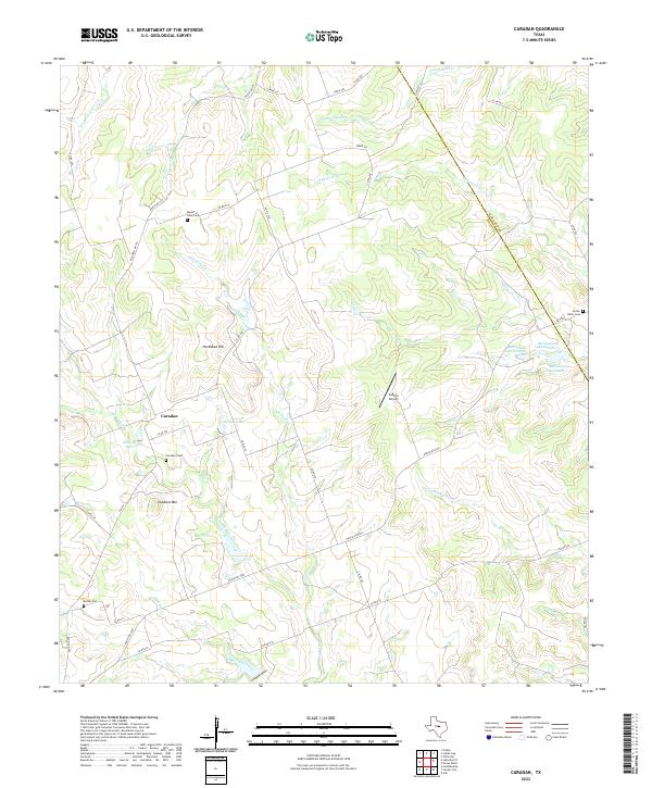
1956 Caradan
Mills County, TX
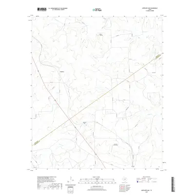
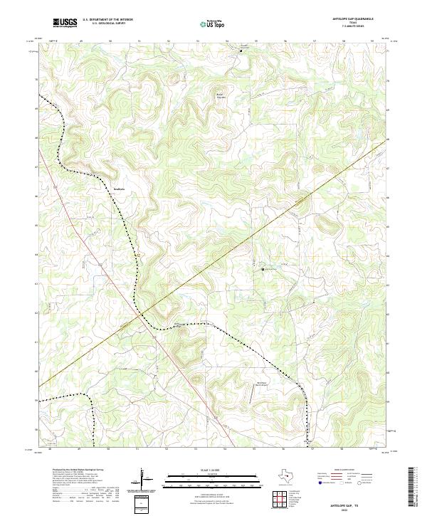
1959 Antelope Gap
Mills County, TX
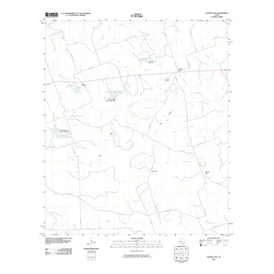
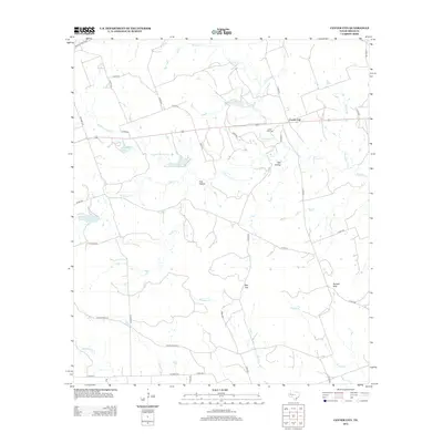
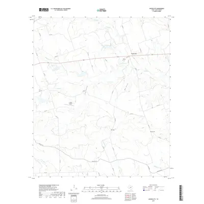
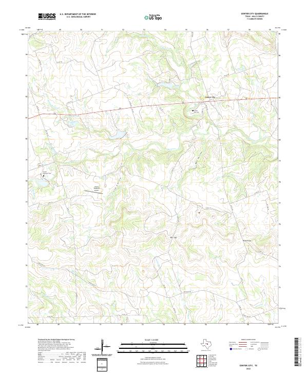
1959 Center City
Mills County, TX
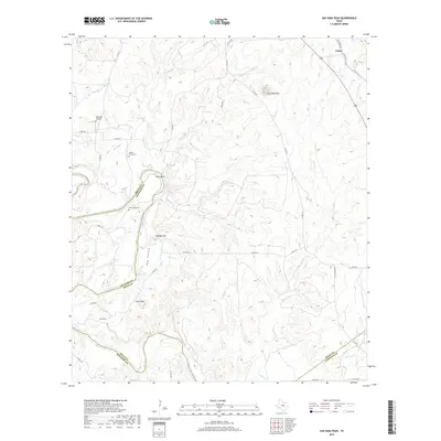
1959 Star
Mills County, TX
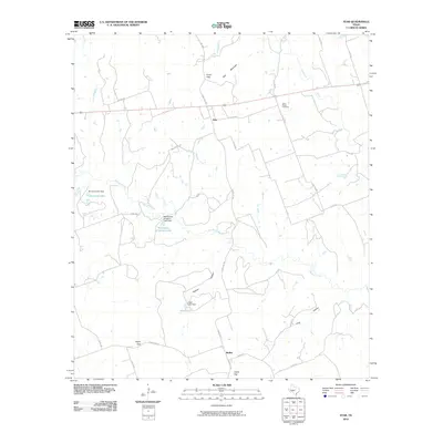
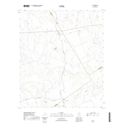
1959 Star
Mills County, TX
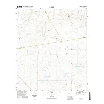
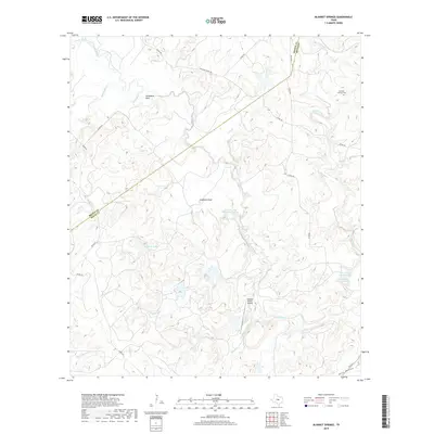
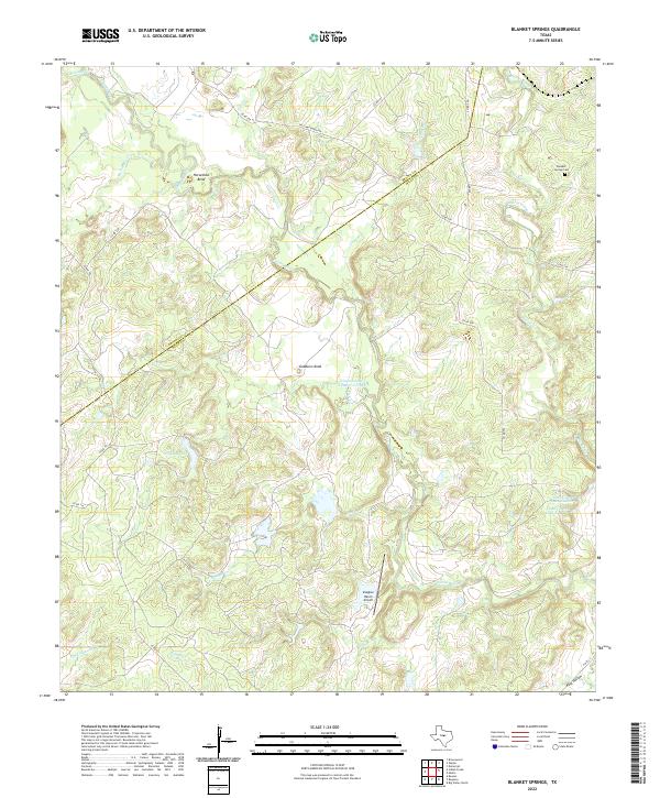
1979 Blanket Springs
Mills County, TX
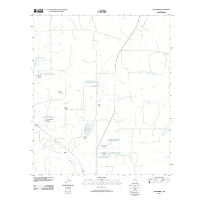
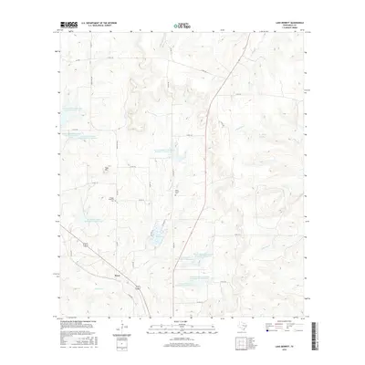
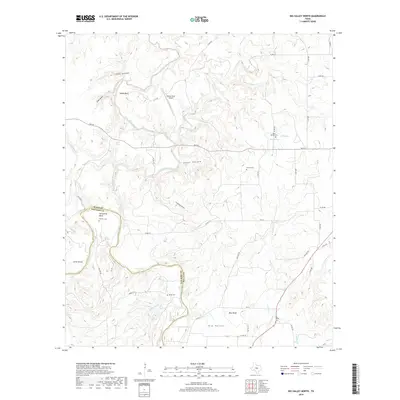
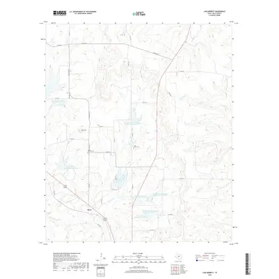
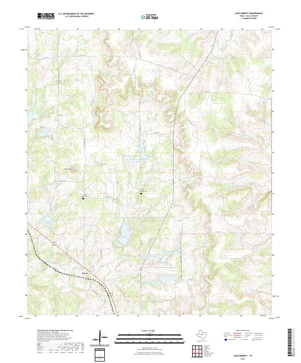
1979 Lake Merritt
Mills County, TX
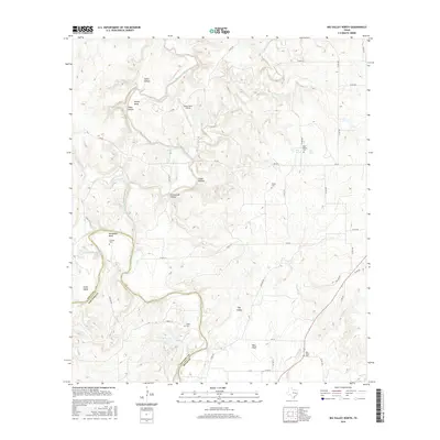
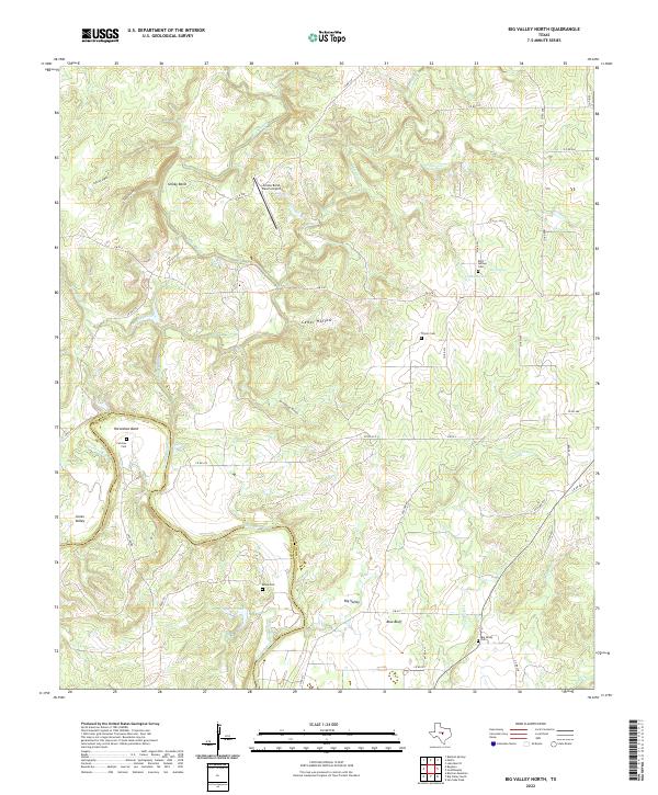
1980 Big Valley North
Mills County, TX
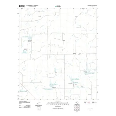
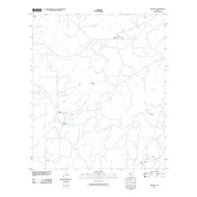
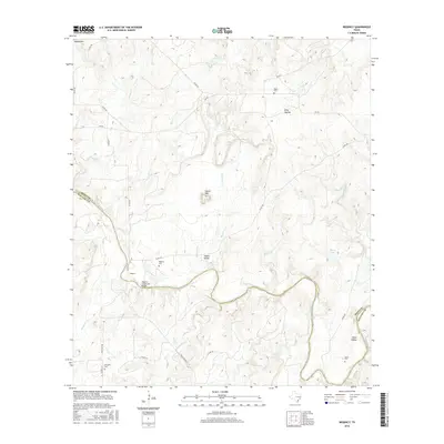
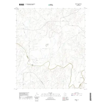
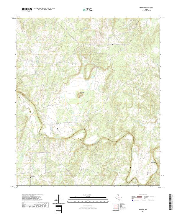
1980 Regency
Mills County, TX
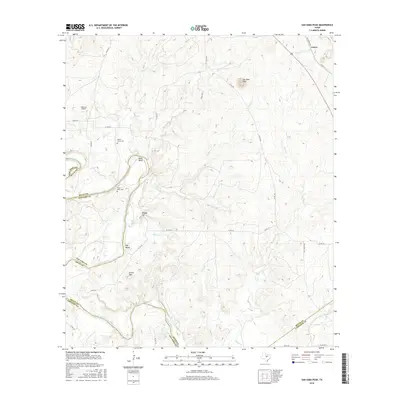
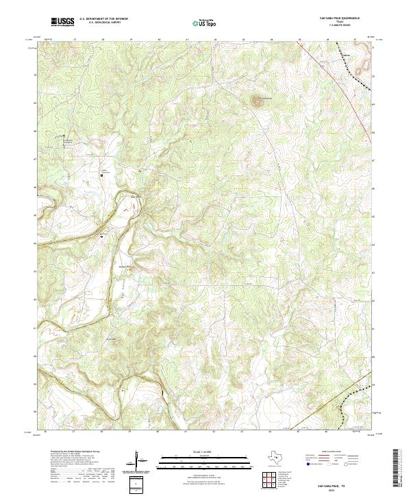
1980 San Saba Peak
Mills County, TX
2010 Antelope Gap
Mills County, TX
2010 Big Valley North
Mills County, TX
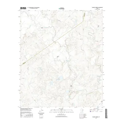
2010 Blanket Springs
Mills County, TX
2010 Caradan
Mills County, TX
2010 Center City
Mills County, TX
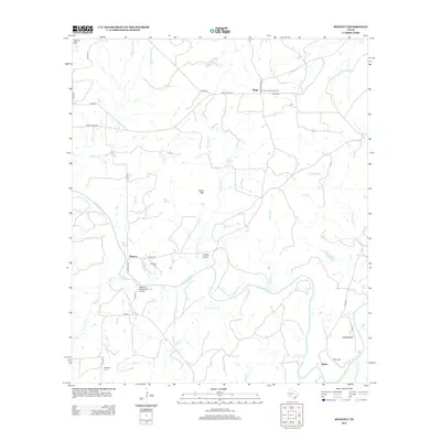
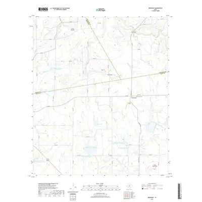
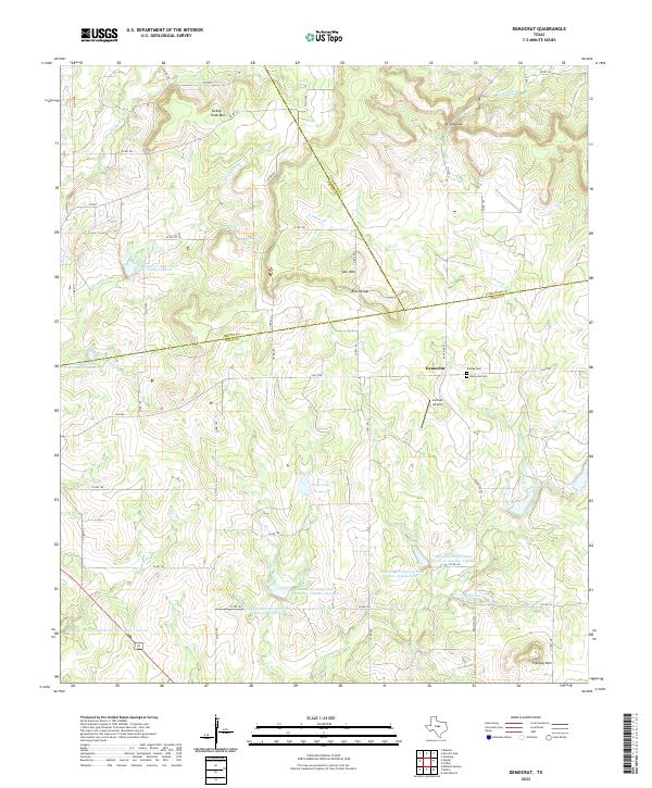
2010 Democrat
Mills County, TX
2010 Lake Merritt
Mills County, TX
2010 Regency
Mills County, TX
2010 San Saba Peak
Mills County, TX
2010 Star
Mills County, TX
2012 Antelope Gap
Mills County, TX
2012 Big Valley North
Mills County, TX
2012 Blanket Springs
Mills County, TX
2012 Center City
Mills County, TX
2012 Regency
Mills County, TX

2012 Star
Mills County, TX
2013 Caradan
Mills County, TX
2013 Democrat
Mills County, TX
2013 Lake Merritt
Mills County, TX
2013 San Saba Peak
Mills County, TX
2016 Antelope Gap
Mills County, TX
2016 Big Valley North
Mills County, TX
2016 Blanket Springs
Mills County, TX
2016 Caradan
Mills County, TX
2016 Center City
Mills County, TX
2016 Democrat
Mills County, TX
2016 Lake Merritt
Mills County, TX
2016 Regency
Mills County, TX
2016 San Saba Peak
Mills County, TX

2016 Star
Mills County, TX
2019 Antelope Gap
Mills County, TX
2019 Big Valley North
Mills County, TX
2019 Blanket Springs
Mills County, TX
2019 Caradan
Mills County, TX
2019 Center City
Mills County, TX
2019 Democrat
Mills County, TX
2019 Lake Merritt
Mills County, TX
2019 Regency
Mills County, TX
2019 San Saba Peak
Mills County, TX
2019 Star
Mills County, TX
2022 Antelope Gap
Mills County, TX
2022 Big Valley North
Mills County, TX
2022 Blanket Springs
Mills County, TX
2022 Caradan
Mills County, TX
2022 Center City
Mills County, TX
2022 Democrat
Mills County, TX
2022 Lake Merritt
Mills County, TX
2022 Regency
Mills County, TX
2022 San Saba Peak
Mills County, TX
2022 Star
Mills County, TX