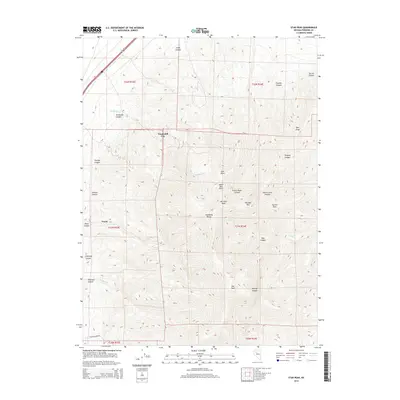
2014 Map of Star Peak
USGS Topo · Published 2014About this map
Star Peak dominates the center of the Humboldt Range in this high-elevation Nevada study. The rugged topography is defined by sharp vertical relief and a network of named drainages including Bloody Canyon, Prince Royal Canyon, and Tehama Canyon. To the west, the foothills give way to more accessible terrain near Twain and the historic location of Humboldt City, which sits at the base of the mountains.
Find a feature on this map
36 named features on this map. Tap any name to fly to it.
Don’t see what you’re looking for? This feature index may not catch every label — zoom into the map to look around manually.
Map Details
Editions of this 2014 Star Peak Map
This is the sole edition of this map. No revisions or reprints were ever made.
Other maps of this area

1931 · Lovelock
USGS Topo · 1:250,000

1935 · Lovelock
USGS Topo · 1:250,000

1954 · Unionville
USGS Topo · 1:62,500

1955 · Lovelock
USGS Topo · 1:250,000

1956 · Oreana
USGS Topo · 1:62,500

1956 · Imlay
USGS Topo · 1:62,500

1959 · Lovelock
USGS Topo · 1:250,000

1971 · Rye Patch Reservoir South
USGS Topo · 1:24,000

1971 · Rye Patch Reservoir North
USGS Topo · 1:24,000

1984 · Lovelock
USGS Topo · 1:100,000