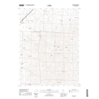
2018 Map of Star Peak
USGS Topo · Published 2018About this map
Star Peak dominates the landscape of the northern Humboldt Range in this high-desert region of Pershing County. The terrain is defined by a series of steep drainages, including the formidable Bloody Canyon and Star Canyon which cut eastward from the heights. To the west, the tiny settlement of Humboldt sits at the edge of the range, served by Frontage Rd and S Frontage Rd.
Find a feature on this map
37 named features on this map. Tap any name to fly to it.
Don’t see what you’re looking for? This feature index may not catch every label — zoom into the map to look around manually.
Map Details
Editions of this 2018 Star Peak Map
This is the sole edition of this map. No revisions or reprints were ever made.
Other maps of this area

1931 · Lovelock
USGS Topo · 1:250,000

1935 · Lovelock
USGS Topo · 1:250,000

1954 · Unionville
USGS Topo · 1:62,500

1955 · Lovelock
USGS Topo · 1:250,000

1956 · Oreana
USGS Topo · 1:62,500

1956 · Imlay
USGS Topo · 1:62,500

1959 · Lovelock
USGS Topo · 1:250,000

1971 · Rye Patch Reservoir South
USGS Topo · 1:24,000

1971 · Rye Patch Reservoir North
USGS Topo · 1:24,000

1984 · Lovelock
USGS Topo · 1:100,000