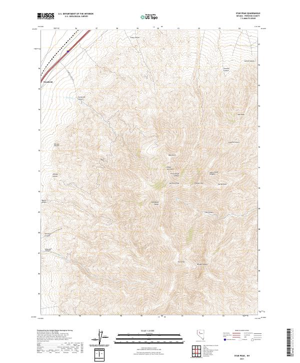
2021 Map of Star Peak
USGS Topo · Published 2021About this map
The high ridges of the Humboldt Range dominate this part of Pershing County, reaching a geographic climax at Star Peak. This 2021 record captures the complex network of deep drainages that define the eastern and western slopes of the range, including the prominent Star Canyon and Bloody Canyon. The landscape is largely defined by these natural contours, with only sparse infrastructure such as Humboldt Canyon Rd navigating the lower elevations. High-altitude landmarks like Thunder Mtn, Van Zant Peak, and Sacred Point provide essential orientation points for those studying the rugged topography of northern Nevada. The map also traces the headwaters of several drainages, including Star Cr and Antelope Cr, which drain the steep terrain of the quadrangle.
Find a feature on this map
34 named features on this map. Tap any name to fly to it.
Don’t see what you’re looking for? This feature index may not catch every label — zoom into the map to look around manually.
Map Details
Editions of this 2021 Star Peak Map
This is the sole edition of this map. No revisions or reprints were ever made.
Other maps of this area

1931 · Lovelock
USGS Topo · 1:250,000

1935 · Lovelock
USGS Topo · 1:250,000

1954 · Unionville
USGS Topo · 1:62,500

1955 · Lovelock
USGS Topo · 1:250,000

1956 · Oreana
USGS Topo · 1:62,500

1956 · Imlay
USGS Topo · 1:62,500

1959 · Lovelock
USGS Topo · 1:250,000

1971 · Rye Patch Reservoir South
USGS Topo · 1:24,000

1971 · Rye Patch Reservoir North
USGS Topo · 1:24,000

1984 · Lovelock
USGS Topo · 1:100,000