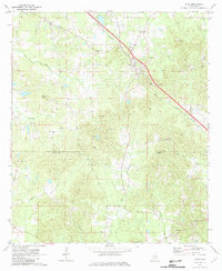
1971 Map of Star
USGS Topo · Published 1982About this map
The Illinois Central railroad cuts a diagonal path through this rural landscape on the border of Rankin and Simpson counties, centering on the community of Star. Historically an area defined by small settlements and family churches, the map reveals a pattern of development closely tied to the rail line and the numerous gravel operations that dot the terrain. Significant local heritage is preserved in the locations of Wesleyanna Cem, Star Cem, and the Mt Salem Ch, reflecting the deep-rooted social structure of the region in the early 1970s.
Find a feature on this map
26 named features on this map. Tap any name to fly to it.
Don’t see what you’re looking for? This feature index may not catch every label — zoom into the map to look around manually.
Map Details
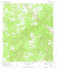
Editions of this 1971 Star Map
2 editions found
Other maps of this area

1903 · Jackson
USGS Topo · 1:125,000

1906 · Florence
USGS Topo · 1:62,500

1908 · Florence
USGS Topo · 1:62,500

1953 · Hattiesburg
USGS Topo · 1:250,000

1953 · Meridian
USGS Topo · 1:250,000

1953 · Natchez
USGS Topo · 1:250,000

1955 · Jackson
USGS Topo · 1:250,000

1956 · Natchez
USGS Topo · 1:250,000

1957 · Meridian
USGS Topo · 1:250,000

1958 · Hattiesburg
USGS Topo · 1:250,000