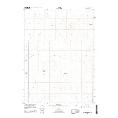
2015 Map of Star Valley Ridge SW
USGS Topo · Published 2015About this map
The Owyhee Desert dominates this section of Elko County, where the high-altitude basin landscape is defined by vast tracts of public land and sparse water sources. The Little Owyhee River snakes through the western portion of the quadrangle, serving as the primary drainage for the surrounding terrain. In the southwest, a distinctive landmark known as Dobe Doc stands out against the desert floor, providing a rare named geographic point in an area otherwise characterized by its isolation and grid-based land management. Toward the southeast corner, the seasonal flow of Lake Cr appears, illustrating the intermittent nature of water in this arid environment. This map reflects the modern configuration of the Public Land Survey System, showing the townships and ranges used to manage these expansive Nevada rangelands.
Find a feature on this map
8 named features on this map. Tap any name to fly to it.
Don’t see what you’re looking for? This feature index may not catch every label — zoom into the map to look around manually.
Map Details
Editions of this 2015 Star Valley Ridge SW Map
This is the sole edition of this map. No revisions or reprints were ever made.
Other maps of this area

1882 · Paradise
USGS Topo · 1:250,000

1893 · Paradise
USGS Topo · 1:250,000

1955 · McDermitt
USGS Topo · 1:250,000

1959 · McDermitt
USGS Topo · 1:250,000

1973 · Star Valley Ridge SW
USGS Topo · 1:24,000

1973 · Button Lake Well
USGS Topo · 1:24,000
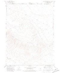
1973 · Star Valley Ridge East
USGS Topo · 1:24,000

1973 · Corral Lake
USGS Topo · 1:24,000
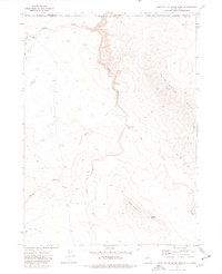
1973 · Star Valley Ridge West
USGS Topo · 1:24,000
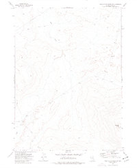
1973 · Star Valley Ridge SE
USGS Topo · 1:24,000