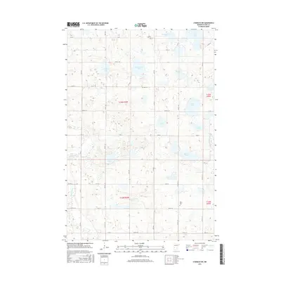
2016 Map of Starbuck NW
USGS Topo · Published 2016About this map
Glacial depressions and water bodies dominate this portion of Pope County, where the Chippewa River and its tributary, the Little Chippewa River, snake through a landscape defined by numerous named lakes. The topography is marked by significant local-history landmarks such as Saint John's Cem and Nora Cem, which sit among the scattered farmsteads and rural townships. The map illustrates a highly organized grid of township roads, including Twp Rd T-81 and Twp Rd T-119, which provide access to more remote water bodies like Belgum Lake and Irgens Lake. This 2016 survey documents the enduring agricultural character of the region, where family-named features like Osterberg Lake and Abrahamson Lake reflect the lineage of early settlers in this prairie-pothole region of Minnesota.
Find a feature on this map
43 named features on this map. Tap any name to fly to it.
Don’t see what you’re looking for? This feature index may not catch every label — zoom into the map to look around manually.
Map Details
Editions of this 2016 Starbuck NW Map
This is the sole edition of this map. No revisions or reprints were ever made.
Other maps of this area

1911 · Barrett
USGS Topo · 1:62,500

1912 · Morris
USGS Topo · 1:62,500

1953 · Saint Cloud
USGS Topo · 1:250,000

1957 · Saint Cloud
USGS Topo · 1:250,000

1958 · Saint Cloud
USGS Topo · 1:250,000

1966 · Farwell
USGS Topo · 1:24,000

1966 · Kensington
USGS Topo · 1:24,000

1968 · Cyrus
USGS Topo · 1:24,000

1968 · Starbuck
USGS Topo · 1:24,000

1968 · Lowry
USGS Topo · 1:24,000