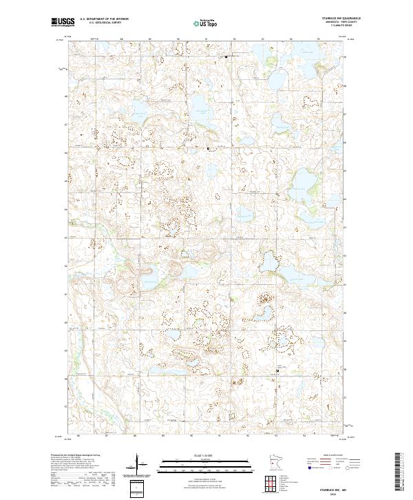
2022 Map of Starbuck NW
USGS Topo · Published 2022About this map
Glacial depressions and riverine systems define this portion of Pope County, where the Chippewa River and its tributary, the Little Chippewa River, wind through a landscape dominated by numerous small lakes. The distribution of water bodies like Abrahamson Lake, Osterberg Lake, and Rosby Lake indicates the undulating prairie pothole terrain characteristic of western Minnesota.
Find a feature on this map
47 named features on this map. Tap any name to fly to it.
Don’t see what you’re looking for? This feature index may not catch every label — zoom into the map to look around manually.
Map Details
Editions of this 2022 Starbuck NW Map
This is the sole edition of this map. No revisions or reprints were ever made.
Other maps of this area

1911 · Barrett
USGS Topo · 1:62,500

1912 · Morris
USGS Topo · 1:62,500

1953 · Saint Cloud
USGS Topo · 1:250,000

1957 · Saint Cloud
USGS Topo · 1:250,000

1958 · Saint Cloud
USGS Topo · 1:250,000

1966 · Farwell
USGS Topo · 1:24,000

1966 · Kensington
USGS Topo · 1:24,000

1968 · Cyrus
USGS Topo · 1:24,000

1968 · Starbuck
USGS Topo · 1:24,000

1968 · Lowry
USGS Topo · 1:24,000