Loading...
Loading map...2022 Map of Starbuck
USGS Topo · Published 2022About this map
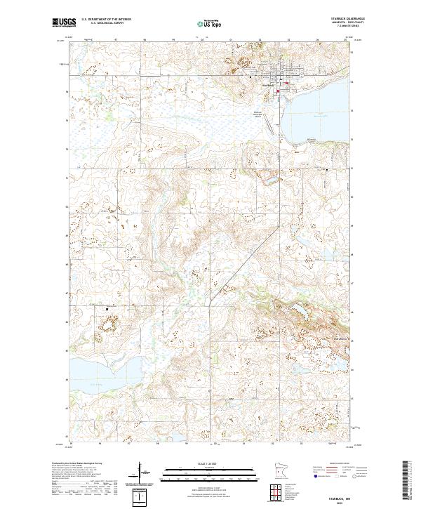
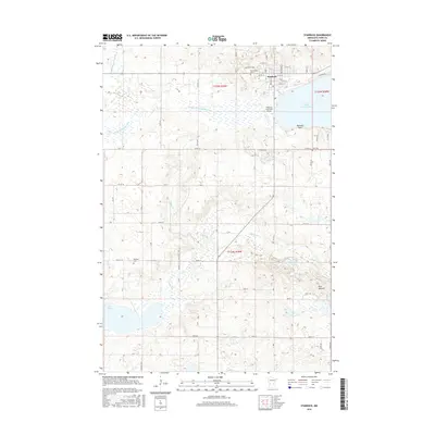
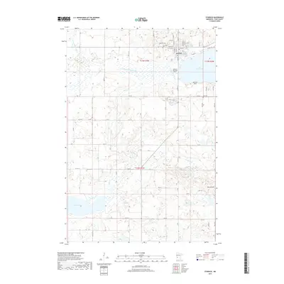
The town of Starbuck sits at the western edge of Lake Minnewaska in this modern survey of Pope County. The landscape is defined by the glacial hydrology of central Minnesota, where Outlet Cr and County Ditch Number Two drain the surrounding prairie and wetlands into larger basins like Lake Emily. The township grid system is well-established, with roads like Co Rd 18 and Co Hwy 14 providing structure to the agricultural surroundings.
Find a feature on this map
42 named features on this map. Tap any name to fly to it.
Don’t see what you’re looking for? This feature index may not catch every label — zoom into the map to look around manually.
Map Details
Date Portrayed2022
Date Published2022
PublisherU.S. Geological Survey
Map TypeTopographic
Scale1:24,000
Physical Dimensions24 x 29 inches
Editions of this 2022 Starbuck Map
This is the sole edition of this map. No revisions or reprints were ever made.
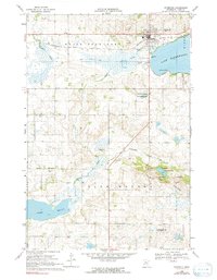
Historical Maps of Starbuck Through Time
6 maps found
Featured Locations
Source Details
SourceU.S. Geological Survey
CopyrightPublic Domain