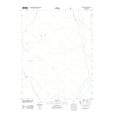
2012 Map of Stargo Creek
USGS Topo · Published 2012About this map
Red Mountains dominate the western landscape of this Nye County high-desert terrain, where drainage patterns define the geography. The area is marked by seasonal and perennial waterways including Stargo Creek, Savory Creek, and East Dobbin Creek. A notable geological curiosity, the Miniature GrandCanyon, is located in the southwestern sector, suggesting a local landscape of sharp erosion and unique formations. This 2012 survey illustrates the network of backcountry routes and forest service roads, such as Natl Forest Develop Road 139 Rd and 516a, that provide access to remote points like Stargo Spring. The map documents a sparsely populated region of Nevada where land management and natural water sources like Little Savory Creek and Sevenmile Wash dictate the movement through the basin and range environment.
Find a feature on this map
15 named features on this map. Tap any name to fly to it.
Don’t see what you’re looking for? This feature index may not catch every label — zoom into the map to look around manually.
Map Details
Editions of this 2012 Stargo Creek Map
This is the sole edition of this map. No revisions or reprints were ever made.
Other maps of this area

1926 · Roberts Mountains
USGS Topo · 1:250,000

1929 · Roberts Mountains
USGS Topo · 1:250,000

1955 · Millett
USGS Topo · 1:250,000

1956 · Horse Heaven Mtn
USGS Topo · 1:62,500

1956 · Tonopah
USGS Topo · 1:250,000

1959 · Tonopah
USGS Topo · 1:250,000

1959 · Millett
USGS Topo · 1:250,000

1960 · Dianas Punch Bowl
USGS Topo · 1:62,500

1962 · Tonopah
USGS Topo · 1:250,000

1968 · Fish Springs
USGS Topo · 1:62,500